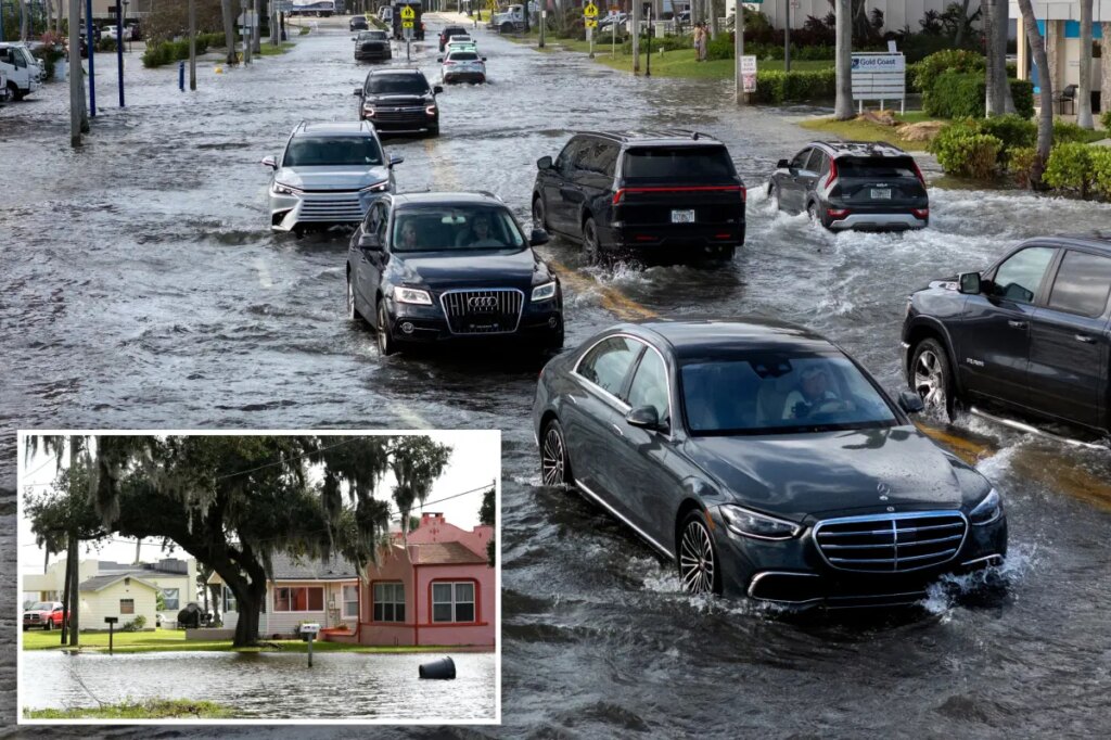
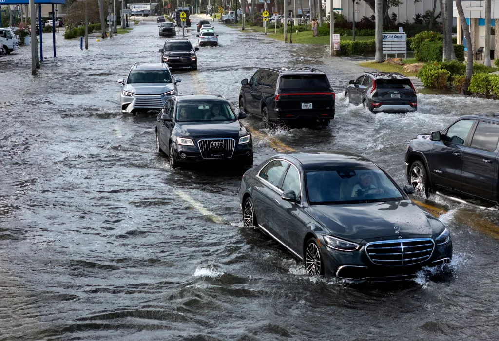
Parts of Florida saw some of the worst coastal flooding yet on Tuesday from the ongoing fall King Tide event, with flood levels continuing to surpass records set by several hurricanes.
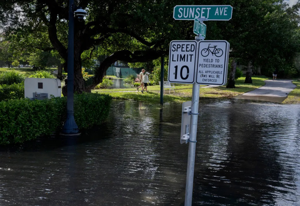
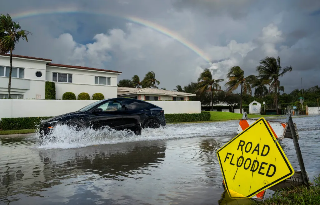
Several low-lying neighborhoods in South Florida were completely flooded with several feet of water during high tide. While peak flooding is expected to continue through Wednesday across the Southeast coast, relief for some of these neighborhoods will be gradual as high tide cycles slowly begin to recede.
Tidal flooding is also being intensified by a persistent northeasterly wind which is pushing seawater onshore.
A King Tide is the highest naturally occurring high tide of the year. Even on clear, sunny days with no storm in sight, these extra-high seasonal tides push seawater back up through storm drains and onto coastal streets.
Flooding reached 2.51 feet above normally dry ground in South Port Everglades on Tuesday, surpassing Monday’s high-water mark, which eclipsed the old record set during Hurricane Nicole in 2022.
Tuesday again ranked among the top five flood events on record in Virginia Key, Port Canaveral and Lake Worth, according to the FOX Forecast Center.
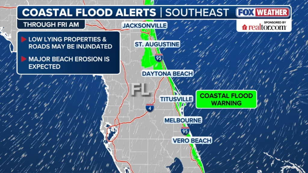
Coastal Flood Warnings are in effect through Friday across parts of South Florida, Georgia, and the South Carolina Lowcountry for coastal roads, low-lying neighborhoods, and waterfront infrastructure.
Around Jacksonville, persistent northerly to northeasterly winds could impede drainage along the St. Johns River, allowing high water to linger around riverfront areas.
FOX Weather Correspondent Brandy Campbell showed extensive flooding in North Bay Village, between mainland Miami and Miami Beach.
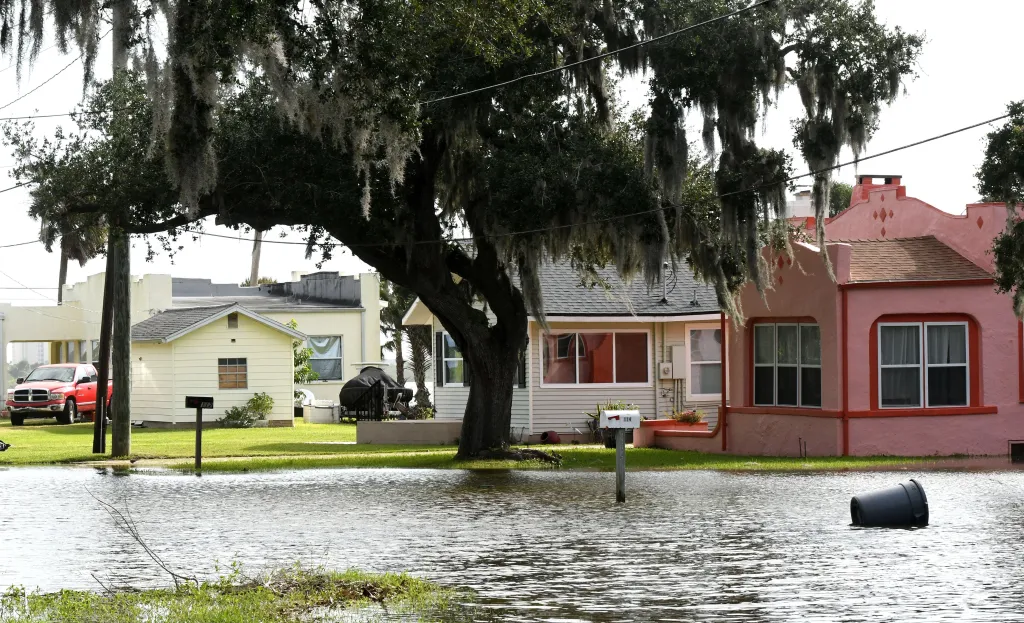
“The worst I’ve seen in the four years I’ve been here,” one Miami resident told Campbell.
“I was above my boots in water.”
The City of Fort Lauderdale told residents to expect road closures due to flooding through Thursday.
In addition, South Florida could see another round of heavy tropical rainfall on Wednesday. An upper-level low near Cuba is interacting with an area of high pressure, drawing deep tropical moisture across the peninsula.
NOAA’s Weather Prediction Center (WPC) has issued a Level 1 out of 4 flash flood risk from New Smyrna Beach to areas just north of West Palm Beach on Wednesday.
Charleston and the South Carolina Lowcountry face a heightened threat, with water levels in Charleston Harbor potentially reaching or exceeding 2 feet.
Major flooding could spread beyond the immediate waterfront, affecting downtown streets. Flooded roads could become impassable during peak high tide, leading to travel disruptions. Impacts may also extend to other low-lying coastal communities in Georgia and South Carolina.
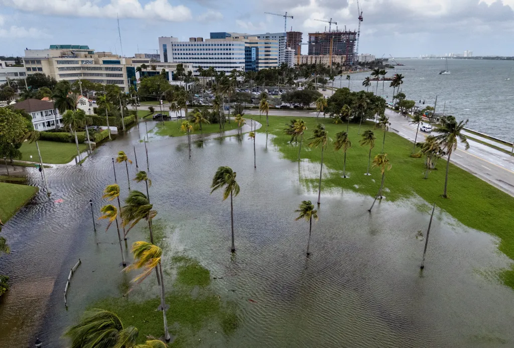
Meanwhile, northeasterly winds of 20 to 25 mph will continue pushing water toward the coast.
A high rip current risk remains in effect across virtually the entire Southeast coast.
Water levels should gradually ease after midweek as the peak astronomical tide cycle subsides.
The post Gradual relief coming to Florida as record King Tides event entering final hours appeared first on New York Post.