The calm, 11-mile-wide eye of Hurricane Melissa is encircled by its most ferocious winds, which are now beginning what forecasters called a “painstakingly slow turn” toward Jamaica — a crawl that will drag the storm over the island at a speed no faster than a person can walk. That punishing pace is why officials predict the storm will deliver rain totals measured not in inches, but in feet.
Melissa is now locked onto a path that is certain to strike Jamaica, Cuba, and possibly even the Bahamas, as an intensely destructive force throughout the next few days.
Monday: the Turn
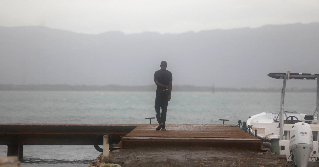
Officials in Jamaica have warned residents not to venture outside as catastrophic, life-threatening flash-flooding and numerous landslides are expected from Monday through Tuesday.
This torrential rainfall will continue across Jamaica, Haiti, the Dominican Republic and Cuba as the storm makes its slow turn north toward the southern coast of Jamaica.
As the storm edges close to the island Monday evening, destructive winds will arrive, especially in the mountains. Officials warn that these winds could last 24 hours or longer, leading to extensive damage to infrastructure, long-lasting power and communications outages, and isolated communities.
While the fiercest winds near Melissa’s center Monday morning were consistent with a Category 5 hurricane, forecasters warned that the storm is likely to fluctuate in intensity over the next 24 hours, possibly producing even higher wind speeds.
The hurricane will also drive a life-threatening storm surge onto the coast. The water, piled up near the eye and on the storm’s eastern side, is projected to rise nine to 13 feet above ground level over the next day.
Tuesday: First Landfall
The eye of Melissa is almost certain to make landfall on the south coast of Jamaica on Tuesday morning and pass over the north coast by Tuesday afternoon. While there is still a slight chance the center of the storm will slide around the island, forecasters say this will have little change in the overall threat.
The storm could weaken slightly before landfall, but officials emphasized that there is no practical difference between Category 4 or 5 intensity, because both can produce catastrophic wind damage. It is also very likely that the hurricane’s winds in the mountains will be considerably higher than those on the beaches.
The rainfall will continue, with more than 40 inches possible in portions of Jamaica. That could contribute to landslides, flash floods and loosening soil, and make trees easier targets for the winds. Haiti and the Dominican Republic will continue to endure heavy rainfall, and tropical storm-force winds (39 m.p.h. or higher) are expected there by late Tuesday.
The storm is likely to weaken slightly over Jamaica’s rugged terrain, yet forecasters still believe Melissa will reach southeastern Cuba as a Category 3 or higher. Once Melissa moves over Jamaica, a sweeping system off the United States coast is expected to provide an exit ramp, accelerating the storm from its current walking pace to something more like a sprinter.
Overnight Tuesday: Second Landfall
Overnight Tuesday or early Wednesday morning, the center of Melissa most likely will make a second landfall in Cuba, passing over the southeastern side of the country as it heads toward the Bahamas.
Cuba will see one to two feet of rain, a storm surge of six to nine feet along the southeastern shore, and destructive winds. The duration of intense weather, however, may not last as long as it did over Jamaica.
Wednesday: Third Landfall Threat
By midday on Wednesday, the storm will be swirling over the Bahamas and the Turks and Caicos. A third landfall is possible on one of the islands if the center of Melissa moves directly over land. Either way, the storm will have weakened some, but damaging hurricane conditions are still likely. Flash flooding from four to eight inches of rain could fall Tuesday into Wednesday night across the Bahamas and the Turks and Caicos, along with a significant storm surge and destructive winds.
The torrential rain will begin to subside first in Jamaica, followed by Hispaniola and Cuba.
Thursday: The Final Path
Melissa’s quickening pace could put it in the vicinity of Bermuda by Thursday night, but this remains the point in the forecast where things are still the most uncertain. The agreement across most computer models — tracing the path over Jamaica, Cuba and the Bahamas — typically gives forecasters confidence in what to expect. In the latest model runs on Monday, the track has shifted slightly westward, away from Bermuda. Forecasters said that they will not feel 100 percent confident in the hurricane’s ultimate direction until Melissa finally turns north or northeast on Monday.
The chance that Melissa will hit the United States remains low.
As the storm transitions to a more typical system, it eventually could affect the Canadian Maritimes over the weekend.
And while heavy rain is forecast for the Eastern United States on Thursday and Friday, it is not from Melissa. A separate and more typical storm system is developing near or off the East Coast, which will draw in tropical moisture. This could lead to locally heavy rain and possible isolated flooding concerns across parts of the Mid-Atlantic and Northeast.
Judson Jones is a meteorologist and reporter for The Times who forecasts and covers extreme weather.
The post What to Expect From Hurricane Melissa as It Makes Landfall appeared first on New York Times.