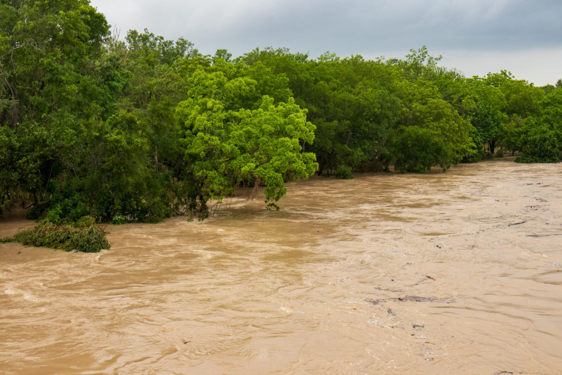
Significant amounts of agricultural land are flooded as the James River at the Columbia gauge in South Dakota reached 15.1 feet on Thursday morning.
Why It Matters
The flooded river arrives as the region has battled heavy rains this summer. National Weather Service (NWS) meteorologists warned that more flooding was possible on Thursday night, as more heavy rainstorms trekked across the state.
What To Know
A flood warning issued by the NWS office in Aberdeen, South Dakota, on Thursday morning said the James River will remain in effect until further notice. The warning was reissued, as one has been in place for “a little while now,” NWS meteorologist Brian Cromwell, who works at the Aberdeen office, told Newsweek.
“We’ve seen a lot of rainfall in that area, so the rainfall piled up, and that’s what’s caused our river to flow over flood stage,” Cromwell said.
As of Thursday morning, the James River was at 15.1 feet at the Columbia gauge. At 15 feet, “significant amounts of agricultural lands are flooded.”
Meteorologists anticipate the river will crest at 15.5 feet on Sunday evening, although more precipitation over the weekend could cause the river to remain high. Flooding begins when the river reaches 13 feet.
“Turn around, don’t drown when encountering flooded roads. Most flood
deaths occur in vehicles,” NWS Aberdeen said in the warning. “Caution is urged when walking near riverbanks.”
Cromwell said the James River is “very slow moving,” so he anticipates the flood warning to remain in effect “for a little while longer still.”
“This summer, especially the past couple months, we’ve seen some pretty above-average rainfall,” he said. “[The river is] not at abnormally high levels, but we are still pretty solidly in that flood stage.”
What People Are Saying
A hazardous-weather outlook issued by the NWS Aberdeen office: “With the potential for multiple rounds of storms, heavy rain and flooding is not out of the question, especially in areas hard hit and saturated from this summer’s rains. The primary focus area of concern is along and south of highway 212 in eastern South Dakota.”
NWS Aberdeen, in a post to X: “There is a Marginal Risk for isolated severe storms this afternoon and evening over central and northeastern SD. On and off showers and storms will then continue overnight and into the early morning hours. The primary threats will be damaging wind gusts (60 mph) and 1″ hail.”
What Happens Next
The flood warning will remain in place until further notice. More heavy rain is expected through Friday night across the area.
The post Flooded River Drenches ‘Significant’ Farmland appeared first on Newsweek.


