
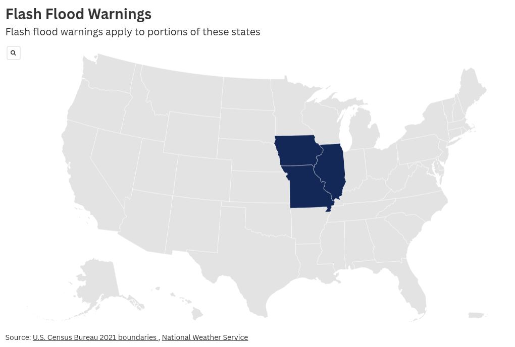
The National Weather Service (NWS) has issued flash flood warnings for parts of Iowa, Illinois and Missouri, as thunderstorms in the region bring heavy, rapid rainfall.
Why It Matters
Flooding is the second deadliest weather hazard nationwide, with most fatalities occurring when vehicles are swept away by rising waters. On July 4, Texas flash floods killed at least 135 with three still missing.
As of mid-July, the NWS has issued a record number of flash flood warnings year-to-date, with 3,160 warnings issued through July 16, according to Iowa State University’s Iowa Environmental Mesonet tracker.
What To Know
In a Saturday advisory, the NWS warned that portions of the three states are under flash flood warnings due to expected thunderstorms that will bring heavy rain. As of Saturday morning, “between 2 and 5 inches of rain have fallen,” and the “expected rainfall rate is 0.25 to 1 inch in 1 hour.”
For parts of southeastern Iowa, west central Illinois, and northeastern Missouri flash flooding is already occurring, the NWS warned. Missouri Department of Transportation reported that portions of some roads have been closed due to water on the roadways.
NWS warned people to “turn around, don’t drown when encountering flooded roads,” noting that “most flood deaths occur in vehicles.”
Nearly half of Iowa is also under extreme heat watch on Saturday, as July continues to bake the area with frequent heat indexes into the triple digits. Heat index values reflect how hot it feels when both temperature and humidity are factored in.
What People Are Saying
NWS Des Moines wrote in a Friday X, formerly Twitter, post: “Dangerous heat & humidity builds across Iowa through early next week. Maximum heat index values are expected to exceed 100 degrees everywhere, with a few locations potentially exceeding 110F! An Extreme Heat Watch has been issued for western/central Iowa beginning Sunday.”
AccuWeather meteorologist Alex DaSilva previously told Newsweek: “When the atmosphere is getting warmer as a whole…essentially what it’s doing is making summer warmer and the shoulder seasons warmer as well. What’s happening is those seasons, especially in the summertime, the [atmosphere’s] ability to hold more moisture is going up as well. It doesn’t guarantee we will see more rain over a certain area, but…when it rains, it’s going to rain heavier.”
Michael Lowry, hurricane specialist and storm expert, wrote in a July 15 X post: “So far in 2025, more flood warnings have been issued by @NWS than any year on record (since 1986).”
AccuWeather chief meteorologist Jon Porter said in a July 21 AccuWeather article: “So far in 2025 across the U.S., there’s been a 70% increase in reports of flash flooding when you compare that to the 10-year historic average through mid-July.”
What Happens Next?
Many of the flash flood advisories are until 11:30 a.m. local time.
The post Map Shows Heavy Rain as Flash Floods Hit Three States appeared first on Newsweek.


