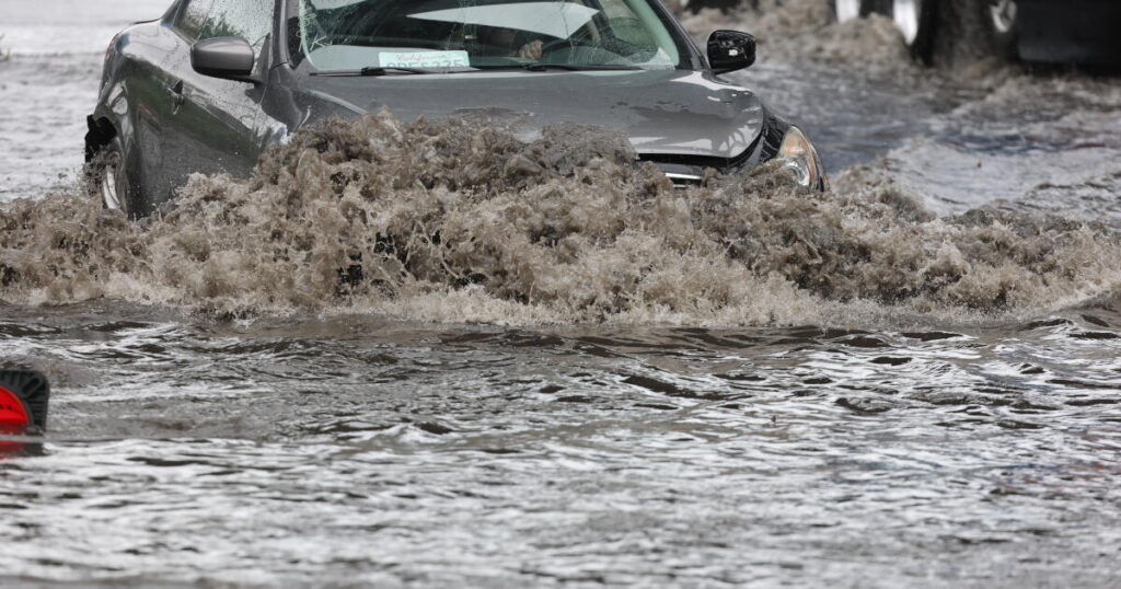
SAN FRANCISCO — The California coast could see all-time high sea levels this week, with officials warning of the potential for major seawater flooding coastal neighborhoods.
The San Francisco Bay Area faces an added threat because a strong storm will strike the region just as the highest tides so far this year arrive. San Francisco Mayor Daniel Lurie urged residents to avoid unnecessary travel early this week, with the city still reeling from exceptional flooding from last week’s powerful rainstorm.
Problems are also likely on the Southern California coast, where sea levels could be even higher than when records were shattered on Oct. 27, flooding homes and businesses in places like Huntington Beach, Newport Beach, Long Beach, Redondo Beach and San Diego.
The dangerous weather is being fueled by El Niño, hot ocean temperatures and unusually powerful king tides that are among the highest in two decades. Unlike Southern California, Northern California will also see a moderate-to-heavy rainstorm starting Tuesday, expected to whip up larger breaking waves and add to the potential for flooding.
Even San Francisco International Airport and Oakland San Francisco Bay Airport are at risk of flooding, according to meteorologist Anamaria Navarrete of the National Weather Service’s Monterey office, which warned of “extreme coastal flooding” on the San Francisco Bay shoreline.
“San Francisco could face a combination of exceptionally high tides, heavy rain, and strong winds over the coming days,” the mayor said in a video posted on social media. “And our waterfront is expecting king tides, which are anticipated to bring the highest tide levels in San Francisco’s history.”
“This is a warning that I want everybody to take seriously. We want you to avoid unnecessary travel, especially around these peak tide periods that are coming,” Lurie said.
The San Francisco Department of Emergency Management suggested avoiding unnecessary travel starting Monday afternoon through Wednesday; Marin County officials urged the same between 9 a.m. to 4 p.m. on Tuesday through Thanksgiving Day, especially in flood-prone areas.
Crews were rushing to install emergency flood barriers along the bay shoreline, including at the San Francisco-Oakland Bay Bridge toll plaza, where a “Tiger Dam” was installed. State transportation officials ordered the shutdown of the only vehicular route out of western Alameda to Oakland — the Posey Tube tunnel — starting Sunday night. And Marin County said people on the entire Tiburon Peninsula should consider leaving from low-lying areas before the daily highest tide, starting Sunday through Black Friday, due to the flood risk.
Set during the most powerful El Niño on record — and during a confluence of extremely high tides and a big storm — the all-time maximum sea level at the San Francisco tidal gauge at Crissy Field was set on Jan. 27, 1983, at 8.66 feet above the baseline (currently defined as the average daily lowest-water level observed between 1983 and 2001). As of Saturday morning, the prediction for the maximum sea level this week was 8.8 feet, but by Sunday morning, the prediction was adjusted downward to 8.6 feet.
It’s still possible that sea levels could exceed 9 feet. “That is all dependent on how much storm surge that we get,” Navarrete said Saturday evening. “We can guarantee that we’ll have at least a foot to a foot and a half due to thermal expansion because of our warmer waters,” but it’s the level of storm surge that comes with the storm that’ll determine “if we are going to break records.”
“Places that have rarely, or never, flooded before may be inundated,” UC Agriculture and Natural Resources climate scientist Daniel Swain said. It’s not rain falling from the sky that’s the main threat, it’s areas at risk of saltwater flooding from the ocean or the bay, he added.
The rain itself isn’t expected to be as intense as last week’s historic rainfall that hit the Bay Area, which brought 3.2 inches of rain to San Francisco in two days. This week’s storm could bring roughly 1.5 inches to San Francisco over two days — still substantial and impactful because it’ll coincide with the king tides, Navarrete said.
The king tides themselves — influenced solely by the position of the moon and sun — are large because we’re near the peaks of what are known as the 18.6-year lunar node tidal cycle and the 4.4-year lunar perigee tidal cycle.
Record-breaking ocean temperatures are also influencing the high sea levels, since hotter water takes up more volume.
Southern California isn’t getting a major storm this week. Still, meteorologists warned that areas spared from hurricanes Marie and Rachel in early September and early October, and from high tides on Oct. 27, could get hit with coastal flooding this week.
In Orange and San Diego counties, forecasters with the National Weather Service warned of “extreme” risk from coastal flooding and high surf on Thanksgiving Day, and warned of “major” impacts from coastal flooding on Tuesday, Wednesday and Black Friday.
Compared to the Oct. 27 coastal flooding — which damaged 114 homes and other structures in Huntington Beach alone, and also hit Newport Beach hard — this week’s flooding may be worse, forecasters warned.
“It’ll most likely be at least as bad as that, and it could be a little worse because we are actually expecting a little bit of higher surf,” said Philip Gonsalves, meteorologist with the weather service office in San Diego, which also issues forecasts for Orange County.
With maximum sea level possibly exceeding 8 feet on Tuesday, Wednesday and Thanksgiving Day, “this will bring widespread moderate-to-major coastal flooding,” the weather service’s San Diego office said. Newport Beachhas been working to temporarily raise seawalls and build sand berms on beaches to prepare. Huntington Beach warned that low-lying roads will be closed Monday through Friday from 6 a.m. to 2 p.m. daily, including a total closure of a 3.7-mile stretch of Pacific Coast Highway through the neighborhood of Sunset Beach — from Seal Beach Boulevard to Warner Avenue.
Huntington Beach also asked boaters to limit unnecessary travel through Huntington Harbour, since boat wakes — when tides are high — can “cause water to overtop seawalls and bulkheads, potentially flooding neighboring properties and damaging docks and private property.”
In Los Angeles, Ventura, Santa Barbara and San Luis Obispo counties, there’s high confidence in record-breaking high tides, the weather service office in Oxnard said. The coastal flooding risk will be the highest on Wednesday and Thursday, exacerbated by elevated-to-high surf that peaks on those two days.
With a swell coming from the west, west-facing beaches are at high risk, including the L.A. County coast from Santa Monica to the Palos Verdes Peninsula and the Ventura County coast from Faria Beach to Silver Strand Beach, including the inside of the harbors and Ventura Pier, according to meteorologist Dave Gomberg of the weather service’s Oxnard office.
The swell won’t be as big in the Long Beach area, Gomberg said, but he’s still concerned about the high maximum sea levels for the area. Crews have been adding sand to the shoreline of the Long Beach Peninsula, which was hit hard by swells from the south from Hurricane Marie over Labor Day weekend and Hurricane Rachel in early October.
On the Central Coast, areas of greatest concern include Morro Bay, Pismo Beach, Oceano Dunes, Cayuco Pier, Avila Beach Pier and Pismo Beach Pier.
Maximum sea level records could be broken yet again. On Oct. 27, the tide gauge in San Pedro broke a record, with a maximum sea level reaching 8.19 feet. A reasonable worst-case scenario for a maximum sea level on Wednesday in L.A. County would be up to 8.9 feet, the weather service said.
The flooding that came in late October occurred even though there wasn’t any really significant surf. This time around, “we’ve got some larger surf,” Phillips said, which can worsen coastal flooding.
But there is some uncertainty. One factor that could result in lower-than-expected sea levels on Thanksgiving Day would be higher pressure moving over the area, which would “kind of squish the water down and may contribute to slightly lower levels of those tides,” said weather service meteorologist Bryan Lewis.
The post Bay Area airports, coast under extreme flood threat, residents told to avoid travel appeared first on Los Angeles Times.