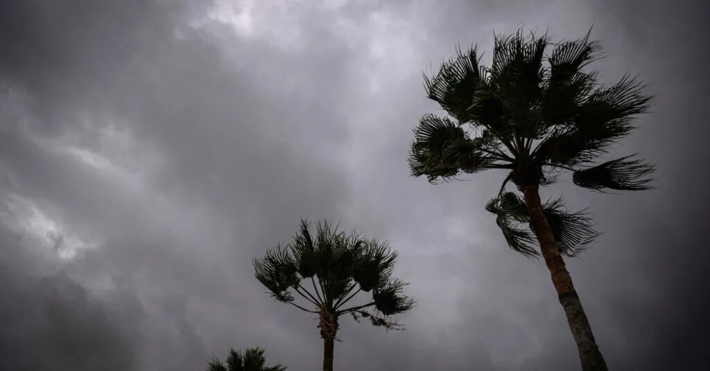
The Southwestern United States was facing heavy rain and the potential for flash flooding through early Wednesday as moisture from two far-off storms streamed into the region. The flood threat was focused over New Mexico and Arizona on Monday and will begin to shift east into Texas and the Plains Tuesday into Thursday.
One to three inches of rain was forecast to fall across much of the region, including in parts of Arizona, New Mexico, Nevada, Utah, Colorado and Texas, and some isolated areas could receive up to seven inches. Flood watches were in effect, and forecasters said more urgent flash-flood warnings were likely over the next few days.
Here’s the timing for the heaviest rain
Monday: The heaviest rain was expected over Arizona and New Mexico and into southern Nevada, Utah and Colorado.
Tuesday: The threat will shift east, over Arizona, New Mexico, Colorado and the Texas Panhandle.
Wednesday: Arizona is expected to dry out, but the chance for heavy rain will continue in New Mexico and Colorado and spread across the Plains, with the threat particularly high in an area spread from south Oklahoma and into North Texas. Two to five inches of rain is expected in the Dallas-Fort Worth area, with up to seven inches in some isolated areas.
Thursday and Friday: The flood threat will continue in the Southern Plains, including across Texas.
The flood risk was particularly high in New Mexico, where the landscape is already steeped in water from wet weather last week, leaving little capacity for additional rain.
“The ground is ready to go, so any additional rainfall and we’ll definitely be looking at flooding,” said Scott Overpeck, a meteorologist at the National Weather Service office in Albuquerque.
The situation is different in Texas, where the widespread heavy rain that is expected on Wednesday will fall in many areas that haven’t seen much rain in recent weeks, particularly in the north.
The last big rain in the Dallas area was in early June when the Dallas Fort Worth International Airport recorded over 3.5 inches of rain, said Sarah Barnes, a meteorologist with the Weather Service office in Fort Worth.
The flooding threat came this week as an area of low pressure over California was expected to dive into the Southwest and collide with the warm, moist tropical air sent from Hurricane Polo and Tropical Storm Odalys.
This kind of setup can occur when summer is transitioning to fall, and is responsible for most of the widespread heavy rain events in the Southwest, said Michael Crimmins, a meteorologist and professor at the University of Arizona.
“The low pressure provides the mechanics and thermodynamics to create widespread and long-lasting lines of showers and storms and the tropical storms provide the abundant fuel,” Dr. Crimmins said.
While tropical moisture frequently drifts into the Southwest during the summer monsoon season, which runs through September, the amount expected this week is greater than normal. The main culprit is Polo, one of the strongest storms ever measured in the Western Hemisphere. The storm was expected to cross over into Baja California on Monday evening and mainland Mexico by early Tuesday.
This storm itself will likely have dissipated over the high terrain of Mexico before it reaches the Southwest, but will send a stream of moisture to the region.
All of this moisture will bring waves of rain across the Southwest, and downpours that bring more than one inch of rain in an hour could cause flash flooding, from low-lying areas to the steeper terrain.
“Some water could cover roads, streams will run higher and there could also be some flash-flooding in areas with higher rainfall rates, where all of the sudden quick rushing water washes out a road,” said Marc Chenard, a meteorologist with the Weather Prediction Center.
More intense thunderstorms could also bring heavy rain to the same areas for long periods. These storms are often called training thunderstorms by meteorologists because they move along a single path like trains traveling on a track.
Areas that were recently burned by wildfires will be at a high risk for flooding, with heavy rain creating muddy rivers of water.
New Mexico is also at a particularly high risk because of wetter than normal weather in September. Santa Fe has recorded nearly four and a half inches of rainfall so far this month, more than three times the average for the time period.
On Wednesday, the threat of heavy rain and flooding was expected to shift east into Colorado and the Plains.
The post Southwestern U.S. Braces for Heavy Rain From Hurricane Polo appeared first on New York Times.