The powerhouse El Niño in the Pacific Ocean is making itself felt on two sides of the nation for the first, but probably not last, time this year.
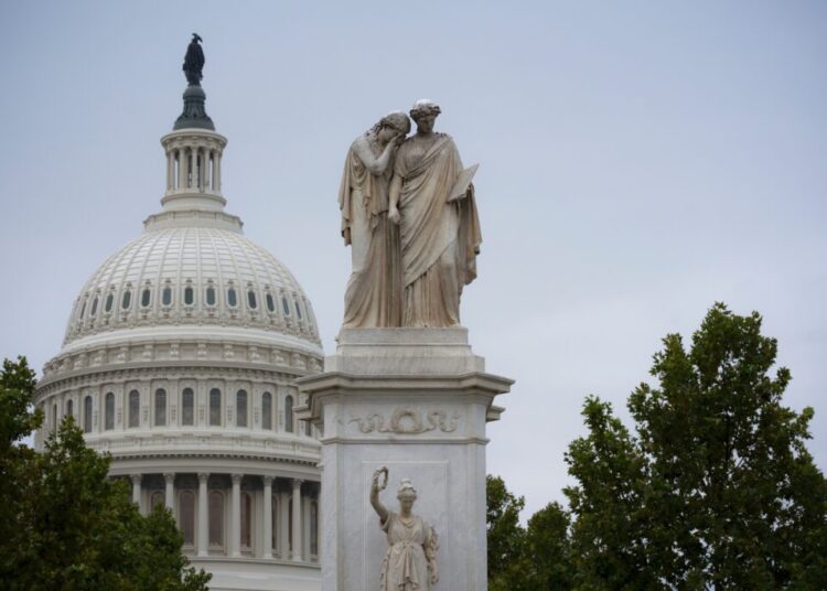
The nor’easter lashing the East Coast this weekend followed a path that can become more common for storms during El Niño, the climate phenomenon that originates in the tropical Pacific and goes on to influence rainfall, temperature and storms around the globe.
A continent away, Hurricane Nolo, which is threatening to soak the Big Island of Hawaii with rain, is being fueled by El Niño-warmed waters in the Pacific. Since August, a parade of hurricanes has battered Hawaii with an intensity that has caught even scientists off guard.
“I lived in Hawaii for 24 years and this is the craziest summer, the craziest fall, I’ve ever seen,” said Mark Merrifield, an ocean scientist and former director of the University of Hawaii Sea Level Center.
El Niño is part of a natural cycle in the Pacific Ocean that recurs every few years and brings a cascade of weather effects across the planet. Its strength typically peaks late in the calendar year. By some metrics, this one is already the strongest on record, an indication of how significantly it is likely to upend many regions’ normal weather patterns in the coming months.
People around the world are already dealing with the consequences. Indonesia is living under a haze of toxic smoke from wildfires worsened by drought. Crops have withered under dry conditions in India, Central America and parts of eastern Africa. Sea levels are rising on the coast of California, giving a leg up for storms and waves to flood homes and erode beaches.
And Hawaii is confronting an extraordinary spate of hurricanes, which are drawing strength from the thick layer of warm water that El Niño produces at the surface of the central and eastern Pacific.
Besides providing more energy for Pacific hurricanes, El Niño also creates conditions in the atmosphere that help them stick around and intensify, said Kim Wood, an associate professor in the department of hydrology and atmospheric sciences at the University of Arizona.
Hawaii has been threatened by such storms before, but never in rapid succession like this year. “It is quite unusual to get that kind of back-to-back-to-back experience,” Dr. Wood said. “And with how mountainous those islands are, the rain threat is just that much worse.”
When moist air hits mountains, it is forced upward, causing it to cool and release precipitation.
Before this year, only six hurricanes over the past seven decades had been recorded as passing within 50 miles of the state, according to Michael Lowry, a hurricane expert for WPLG-TV in Miami. Hurricane Nolo could become the third one to do so this year.
Scientists are working to understand whether human-caused global warming might be leading to more frequent, strong El Niños. They haven’t reached a clear consensus, though one thing is certain: The gyrations that El Niño brings are coming on top of an ocean and atmosphere already warmed by greenhouse gas emissions. That means the effects of an El Niño — whether downpours, wildfires or droughts — can potentially be more severe than they would have been in an earlier, cooler time for the planet.
El Niño’s influence on storms around the United States this year might just be getting started. Come winter, it is likely to help deliver more drenching rain to California. During some past El Niños, the perennially water-stressed state has received one and a half times its usual amount of precipitation, often through winter storms that recharge groundwater but can also cause flooding.
For the Northeast, El Niño doesn’t directly feed storms like the one pounding the coast this weekend, though nor’easters appear to be more frequent in El Niño years. One possible reason? El Niño causes the Pacific jet stream, or the band of air moving west to east at high altitudes, to shift south. That provides a supply of energy and moisture for storms that can take shape off the Southeastern United States then swing north.
The saving grace for eastern states is that El Niño generally leads to quiet Atlantic hurricane seasons. The shift in atmospheric patterns over the Pacific also increases upper-level winds over the Atlantic, making it harder for storms to spin up into hurricanes there.
So far this year, not a single storm in the Atlantic has managed to become a hurricane.
The post With Storms on Two Sides of the U.S., El Niño Shows Its Might appeared first on New York Times.