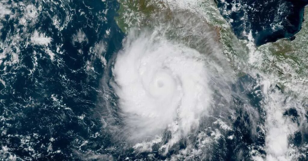
Hurricane Polo is writing a new chapter in the record books.
Experts calculate a storm’s intensity and strength using a few different metrics. One of them is sustained wind speeds, which is how categories are assigned.
Another is a storm’s central pressure, as measured by airplanes called Hurricane Hunters that fly into its eye. The lower the number, the stronger the storm.
On Tuesday, as Hurricane Polo was intensifying, its central pressure dropped to 892 millibars.
Few storms in this part of the world ever become as intense as Polo did on Tuesday afternoon. In 2025, Hurricane Melissa smashed into Jamaica after its pressure plummeted to 892 millibars, making it the third-most-intense storm on record in the Atlantic.
Historical records in the Eastern Pacific, the part of the ocean that hugs North America, are not quite as robust, but 2015’s Hurricane Patricia remains the gold standard. Patricia holds the record for the entire Western Hemisphere, bottoming out at 872 millibars with maximum sustained winds of 215 miles per hour.
It is only in the Western Pacific, closer to Asia, where storms often become stronger; the lowest pressure on record there was Typhoon Tip in 1979, which dropped to 870 millibars.
Polo has weakened a little since Tuesday, and its pressure has crept back up. But as it goes through a restructuring that is common to intense storms, it may regain strength in the coming days.
Usually, when a storm’s pressure drops as low as Polo’s did, ferocious winds follow.
But Polo is unusual: It was nearly stationary, yet still strengthening. Typically, as a slow-moving hurricane churns, it draws up colder water from the depths of the ocean. That cold water chokes off the storm’s heat supply, causing it to weaken.
Not Polo. The storm is sitting over a deep, exceptionally warm column of water. There is no cold water below to act as a brake, leaving plenty of high-octane fuel for Polo to continue intensifying over the next few days.
The culprit is unusually warm waters off the western coast of Mexico, supercharged by El Niño. This climate phenomenon shifts warm ocean water across the tropical Pacific, altering global weather patterns along the way. It tends to suppress hurricane development in the Atlantic, but it acts like an incubator for storms like Polo in the Eastern Pacific.
Sea surface temperatures have been breaking records this year as El Niño gathers strength. Ocean temperatures near Polo are nearly 88 degrees, about three and a half degrees above normal.
Scientists are divided about whether climate change is making El Niño more frequent and intense. But even without El Niño, sea surface temperatures have been rising for years as the oceans absorb excess heat trapped in the atmosphere from greenhouse gases.
The post How El Niño Fueled Hurricane Polo’s Explosive Growth appeared first on New York Times.