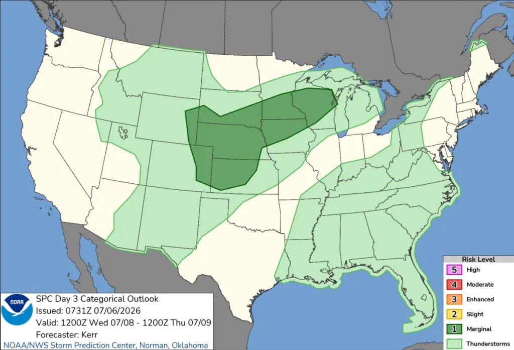
It’s a hard rain that’s gonna fall on the Midwest.
A torrential storm could pound eight states on Wednesday, according to the National Weather Service — but it’s gone viral for an unexpected reason.
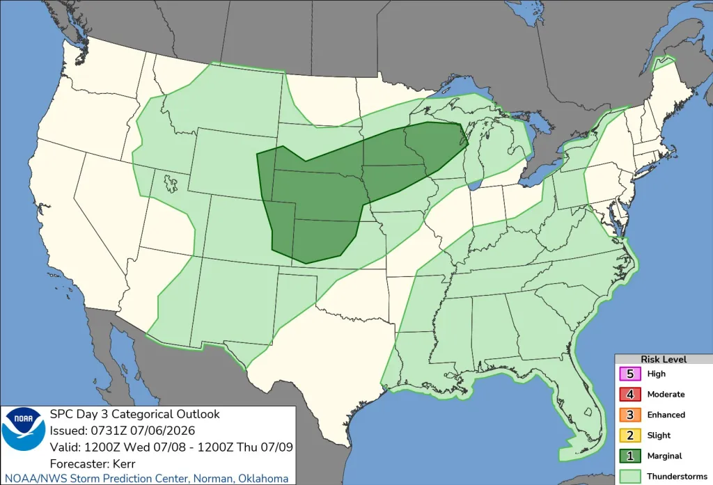
The phallic forecast predicts a cluster of thunderstorms, hail and heavy winds could come through the Upper Midwest, before finishing in the central Great Plains.
The weather system is expected to start in Minnesota and pass through Wisconsin.
The precipitation will swell in southern Minnesota and Iowa, potentially blowing wind and covering the region in hail, according to the forecast.
“Clusters of strong thunderstorms with potential to produce severe hail and wind may evolve across parts of the Upper Midwest into central Great Plains Wednesday through Wednesday night,” the NWS said.
“In the low levels, a front should stretch from near Lake Superior into central NE, where it will stall.”
Some 11.7 million people are under the the warning.
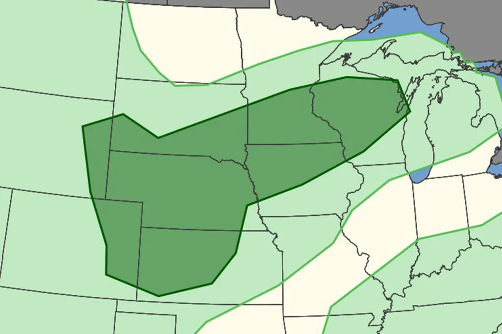
Farther west, size of the warning area increases in size as it enters the High Plains.
The good news is that the risk of severe weather remains small — and could shrink later in the week.
The post Hard times coming for Midwest as massive storm could pound heartland appeared first on New York Post.