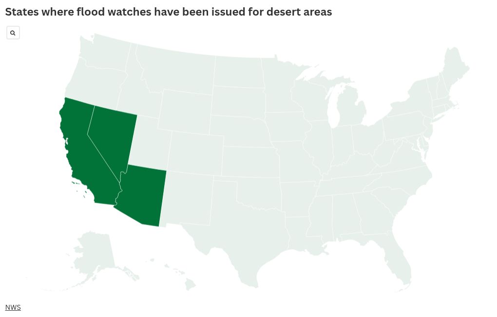
The National Weather Service (NWS) has issued a flood watch for desert areas in southern California, southern Nevada, and northwestern Arizona, effective Wednesday, as heavy rain puts the region at risk for flooding.
Why It Matters
The heavy rain comes less than a week after remnants from Tropical Storm Alvin brought a surge of moisture to Arizona. AccuWeather Lead Hurricane Expert Alex DaSilva previously told Newsweek that the moisture was similar to the region’s monsoon season, which doesn’t typically begin until later in June.
DaSilva said he expects more tropical storms to take a similar path as the Eastern Pacific hurricane season continues, meaning more heavy rain could be in the U.S. Southwest’s future this summer.
What to Know
The watch is in effect for “portions of northwest Arizona, including the following areas, Lake Havasu and Fort Mohave, Lake Mead National Recreation Area, Northwest Deserts and Northwest Plateau, southeast California, including the following areas, Eastern Mojave Desert and San Bernardino County-Upper Colorado River Valley, and southern Nevada, including the following areas, Lake Mead National Recreation Area, Las Vegas Valley, Northeast Clark County, Sheep Range, Southern Clark County, Spring Mountains-Red Rock Canyon and Western Clark and Southern Nye County.”
The flood watch will remain in effect until 11 p.m. local time. A more severe flash flood warning has been issued in Northwest Arizona.
In addition to causing floods, dirt and debris may also be present on the roads due to the surge in moisture. The Mojave National Preserve also asked people to be on the lookout for desert tortoises, which emerge after rain to hydrate and eat the vegetation.
More rain is expected this evening, according to the NWS, with some thunderstorms potentially producing moderate to heavy rainfall.
NWS meteorologist Jenn Soulat, who works at the Las Vegas office, told Newsweek that the moisture is unusual, given Las Vegas is currently in its dry season.
Soulat attributed the surge in moisture to three storm systems that interacted with each other, including the remnants of Tropical Storm Alvin.
She doesn’t expect the flood watches to continue throughout the end of this week and warned people that triple-digit heat will soon return.
What People Are Saying
NWS Las Vegas said in a flood watch: “Excessive runoff may result in flooding of rivers, creeks, streams, and other low-lying and flood-prone locations. Flooding may occur in poor drainage and urban areas. Low-water crossings may be flooded.”
NWS in a forecast issued on Wednesday: “A storm system traversing the Southwest U.S. will continue to favor a regional threat of heavy showers and thunderstorms through tonight which may bring sufficient rainfall for at least scattered areas of flash flooding. This will include potential impacts to some of the area burn scar locations, local slot canyon areas, and also the normally dry washes. Up to a couple inches of new rainfall will be possible by early Thursday morning.”
What Happens Next
The NWS Climate Prediction Center anticipates slightly above-normal precipitation for the region from June 10 to June 14, according to the six- to 10-day precipitation outlook. Normal rainfall is expected further out, for the eight- to 14-day outlook.
The post Map Shows Where 3 States Warned About Floods in the Desert appeared first on Newsweek.