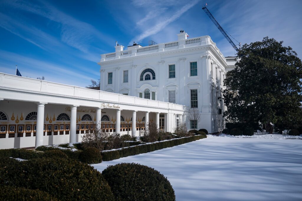
Friday marked the seventh consecutive day of subfreezing temperatures in icebound, snow-beleaguered Washington, and in a way, frozen Friday may have been the coldest of all seven.
The words “lowest high” may at first seem a quaint statistical concept, rather than a measure of winter misery. But to phrase it differently, the warmest temperature on Friday was lower than the warmest on each of the six subfreezing days previous.
To elaborate, on none of the six successive and inarguably icy days that came before Friday had the forces of warmth, feeble as they have lately been, made so lifeless a showing as on Friday with its high of only 21.
Friday’s “high” reading undercut even the 22-degree high of Jan. 24. That Jan. 24 high might have stood in Washington for weeks or months as the cold standard. It might have exemplified the depths (meteorological, of course) to which Washington might sink as a provider of warmth.
Now that 22-degree reading has lost its eminence. As of late Friday we have endured a day on which the mercury could not ascend even to 22 degrees.
Friday’s maximum temperature was called its high, but it was not actually high. It was low.
And so low a high might qualify Friday to hold the title of this winter’s coldest.
Yet more must be said.
Even on frigid Friday, the week’s record for lowest temperature so far, remained in the cold grasp of Jan. 24. On that day, the mercury sank to 10 degrees. Friday could not match that and appeared to settle for 13.
So, although it cannot be described as more than barely perceptible, it may be that some sort of line has been drawn, with the 10-degree minimum on Jan. 24 serving as some invisible atmospheric boundary below which Washington’s temperatures refuse to sink.
But as of late Friday, with only one full day left in January, it appeared that Washington’s hope of January freedom from frigidity rested on another word starting with “f.” That is, February.
The post Friday marks a full week of subfreezing days in Washington appeared first on Washington Post.


