The most frigid weather of the winter is coming to the D.C. area this weekend, as another surge of Arctic air blasts into the region. The cold will intensify as a powerhouse coastal storm — a nor’easter — rapidly strengthens off the Mid-Atlantic coast.
The storm will meet the meteorological definition of a “bomb cyclone,” intensifying explosively as it tracks well offshore. It will develop too far away to produce substantial snow in the D.C. area, but it will draw punishing winds southward late Saturday through Sunday, with gusts up to 40 mph.
Wind chills are poised to dip below zero Saturday night and hover in the single digits much of Sunday.
This weekend’s cold will mark the harshest stretch of a long-running cold spell that began Saturday and will only gradually ease next week.
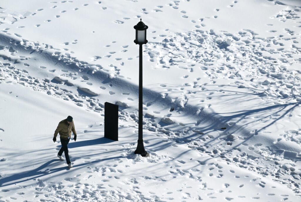
The unforgiving temperatures also mean the rock-hard layer of snow and ice — dubbed “snowcrete” by some — will not appreciably melt through early next week. With temperatures expected to remain below normal beyond that, there are no clear signs of a rapid thaw.
When will it be coldest and windiest?
A reinforcing shot of Arctic air — with both Siberian and Canadian roots — arrives Saturday, when highs may struggle to escape the teens (normal highs are near 45). Winds will be relatively light during the day, limiting the worst wind-chill impacts.
Conditions deteriorate Saturday night as the coastal storm rapidly intensifies offshore. The most punishing cold is expected late Saturday night into Sunday, when the coldest air overlaps with strengthening winds.
Wind chills are poised to plunge below zero in the predawn hours Sunday as air temperatures fall to around 10 degrees. Some locations could see wind chills drop as low as minus-10 by Sunday morning.
The strongest winds are likely during the day Sunday, blowing from the northwest at 20 to 25 mph with gusts of 30 to 40 mph. Even by Sunday afternoon, wind chills may struggle to rise out of the single digits, despite air temperatures climbing to around 20 to 25.
Could any records be set?
Highs on Friday and Saturday are likely to be 20 to 25 degrees below normal. D.C.’s average is 45 on Friday and rises to 46 on Saturday.
Saturday looks particularly cold, and perhaps the coldest of the season so far — with a predicted high of only around 20.
It will be the lowest high of the season if it remains below 22 (last Saturday’s high) and will also set a calendar-day record; the coldest Jan. 31 high observed of 22 occurred in 1936.
How unusual is this cold spell?
Temperatures have not surpassed freezing for six straight days (through Thursday), which ranks among the top-20 longest such streaks on record since 1872. Friday will make seven, tying as the 11th longest such run. Saturday will push the streak into the top 10.
Friday marked the seventh straight day with lows in the teens (or lower). The streak will almost certainly run to at least 10. A run of 10 straight mornings so cold would tie for the seventh-longest streak on record and become the longest since 12 in December 1989.
The average temperature over the past six days ending Thursday was 20.6, which is 17 degrees below average. Since 2000, only 2015 and 2018 had colder six-day averages, and these averages could dip with the cold air peaking.
When will the freezing streak end?
D.C. should finally rise above freezing by Tuesday. There’s a chance it could happen Monday, but temperatures probably will fall just short.
If the mercury finally rises above 32 degrees on Tuesday, it will end the freezing streak at 10 days, tied with December 1989 for the fifth-longest stretch on record.
Even if temperatures eclipse 32 by Tuesday, it will hardly feel springlike with highs holding in the 30s through much of next week.
There are also suggestions that a renewed — though less prolonged — round of freezing days could arrive by Feb. 7. There are few signs of any significant warm up through mid-February.
When will the snow finally melt?
The prolonged cold has largely prevented the frozen conglomeration that fell on Sunday from melting, and there’s no sign of a meaningful thaw or rainstorm to erode it anytime soon.
As temperatures moderate next week, some limited melting may occur along the surface of the snowpack — especially on sunnier afternoons. But the concrete-like slabs of snow and ice will refreeze each night when lows fall back into the teens and 20s.
The amount of frozen precipitation that fell Sunday contained water equivalent to roughly a 20-inch snowstorm, but in a far more compacted form. What remains may only be 4 to 6 inches thick, yet it is so dense that it will require a significant amount of heat energy to melt. Unless the region experiences a rapid warmup and/or a soaking rainstorm, much of it could linger well into February.
And those towering piles in parking lots? Some of them may still be around in March.
The post Brace for brutal cold as bomb cyclone drives bitter winds into D.C. appeared first on Washington Post.