It seemed more than plausible Saturday that a vast winter storm was advancing on Washington, as the morning was the coldest in months, and temperatures at every hour stayed far below freezing.
The figures alone sufficed to describe a day in a city only hours from the arrival of a great storm. The mere numbers seemed almost enough to depict a city of streets, trees and buildings soon to be burdened by snow and encased in ice.
The high temperature on Saturday was 22 degrees. In the morning the mercury fell to as low as 10.
That low was the coldest in the capital in three years. On Jan. 23, 2025, the low temperature sank to 15 degrees. That was the lowest reading of the entire year. Saturday was five degrees below that.
Even before the fall of a single snowflake, Saturday became memorable by cold alone.
Based on the late afternoon figures, no great skill at arithmetic was needed to compute the average temperature for the entire day. The average of the high and the low was only 16 degrees.
It seemed difficult to find in such a figure anything but the image of deep winter, a symbol of a city suddenly sunk in a sea of frigid air, a city upon which the icy grasp of late January was fast closing.
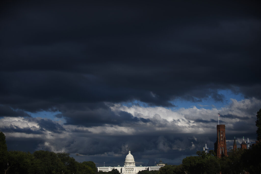
The 22-degree high and the 10- degree low came on a day dominated by gray clouds at almost every hour. Occasionally, the sun seemed to be lurking behind clouds that were on the thin side. Sometimes the sun seemed about to make a breakthrough.
At moments it actually shone. But such moments did not last long and it was again gray, and seemed even colder than before.
It was a day when any carefully conserved warmth seemed in time to find avenues of escape from beneath any number of layers of clothing. It appeared to be a day in late January in which the atmosphere adopted its winter visage, assuming an expression both stern and unsmiling.
The high temperature in Washington was well beneath the low temperatures recorded here on most days in the earlier part of this winter. It seemed some sort of misuse of language to call it a high temperature. It was the day’s warmest reading, but little about it was warm.
It was 13 degrees below the normal temperature in the District for Jan. 24, and it was 51 degrees below the record high in the District for the date.
The low temperature of 10 degrees seemed a more fitting representative of the day. It was only 7 degrees above the all-time low for the date in D.C. and it was 20 below the normal low of 30.
Seldom in the area’s weather annals do the figures, the highs and the lows and the averages tell so vividly of the day on which they were recorded. Seldom do they speak so clearly of the treacherous and confining, the slippery and possibly even the scenic wintertime extravaganza of the elements said to be only hours away.
The post Coldest Washington day in months precedes predicted snow appeared first on Washington Post.