The impending winter storm that will sprawl across the eastern two-thirds of the United States this weekend is expected to deliver a menacing mix of every possible winter hazard as it barrels across the country.
The storm is likely to fall into “the echelon of unusually impactful storms,” said Alex Lamers, a meteorologist with the Weather Prediction Center, one of countless weather experts who have been kept on their toes this week, as forecasters and the computer models they rely on have frequently upended expectations for what the expansive storm will ultimately do.
“It’s not something you see every winter,” Mr. Lamers said, adding that the storm “is likely to affect about half the U.S. population with accumulating ice, sleet or snow.”
And once the storm has moved on, leaving a blanket of ice in the South and up to a foot of snow in parts of the Northeast, it will be followed by potentially record-breaking cold temperatures that will leave millions of people in a deep freeze well into next week.
The storm’s complex structure will dictate what it does and where: heavy snow on the northern flank, a heart of sleet and freezing rain in the middle, and plain rain to the south. But on Thursday morning, with the storm’s arrival a day away, its trajectory and its interaction with physical features like the Appalachian Mountains are already forcing more last-minute shifts in the forecast.
The Estimated Timing
While the precise track is still evolving, here is the current window of impact across the country:
-
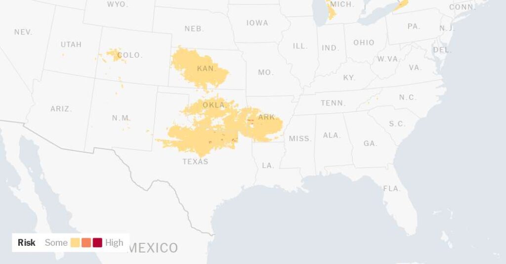
Friday: The storm takes shape as it emerges from the Southern Rockies, potentially producing snow in New Mexico and Colorado before spreading into the plains of Kansas, Oklahoma and Texas. Winter storm warnings were already in place in parts of Oklahoma.
-
Saturday: The system expands significantly. Freezing rain, sleet and snow will likely continue in Texas, Arkansas and Tennessee, while snow will move across the Midwest. By Saturday evening, the system will push into Georgia and the Carolinas.
-
Sunday: The system reaches the Mid-Atlantic and the Northeast, where it could intensify.
-
Monday into midweek: Even after the snow clears, brutal cold will settle in across the eastern United States.
Why the Hazard Type Matters
Every winter storm is a battle of degrees. In this setup, the specific type of precipitation — dictated in part by the temperature — will determine the level of damage some communities may face:
-
Freezing Rain: In areas that receive heavy freezing rain, ice could accumulate to upward of half an inch. The weight of this accumulation is often enough to cause significant damage to trees and power lines.
-
Sleet: Several inches of sleet — small ice pellets — could pile up. Unlike snow, sleet can quickly pack into an impermeable, icy layer on roads and sidewalks, making them nearly impossible to clear.
-
Snow: In the heaviest bands, it is becoming more likely that more than a foot of snow will fall.
“Snow is one thing, but when you start talking about significant accumulation of sleet or freezing rain in particular, that’s the stuff that really causes more damage,” said Eric Fisher, chief meteorologist for WBZ-TV in Boston and author of a book chronicling major storms in New England.
The ‘Funnel’ of Certainty
Forecasters are navigating what Mr. Fisher calls a “funnel” of certainty. Seven days out, meteorologists rely on pattern recognition to begin to tell people what they think a storm will most likely do. As the storm draws closer, within a day or two of its arrival, the funnel narrows into what he calls “actionable information,” as meteorologists gain a clearer understanding of a specific storm’s expected behavior.
One significant hurdle in those final days before a storm like this hits is the push of air from the Arctic that will move through the country on Thursday.
“Arctic air is like a bully,” Mr. Fisher said. “It’s cold, it pushes everything kind of out of the way,” In the last day, this storm’s expected path has shifted farther north than forecasters expected, a surprise given the strength of the cold air mass.
Forecasters said the Northeast may see some of the highest snowfall totals in the coming days, made all the more notable because many places in the region have gone years without a significant winter storm, Mr. Fisher said.
“In terms of our reasonable worst case, it could easily be a foot plus,” said Nelson Vaz, a meteorologist with the National Weather Service in New York.
In places like Texas, the scenario is particularly precarious. A transition from freezing rain to sleet and then snow can create a hazardous phenomenon known as “cobblestone ice.”
David Bonnette, a meteorologist with the National Weather Service in Fort Worth, noted that the term is a “triggering word” for the metro area. In December 2013, ice formed an impermeable base layer that work crews could not treat fast enough, shutting the city down for days.
Farther east, Nashville sits on the dividing line between manageable snow and a crippling ice storm. For now, Interstate 40, which runs west to east across the long, skinny state of Tennessee, serves as the rough boundary for that transition.
“Little shifts have big impacts,” Mr. Fisher warned. “If you’ve got your heaviest snow line in Nashville, and then all of a sudden it’s 30 or 40 miles north, well, now we’ve got an ice storm situation in the city.”
As the storm moves through the Southeast, forecasters will also be watching for a shallow feature known as a cold-air damming wedge. This pool of cold air can get trapped against the Appalachians and force its way south into the Atlanta area, increasing the odds for ice. “Larger models are just not quite able to capture it reliably,” said Samuel Marlow, a meteorologist with the National Weather Service in Atlanta.
After the precipitation ends, the huge mass of cold air from the Arctic will settle in. Mr. Lamers and others at the Weather Prediction Center said they were becoming more concerned that these below-freezing temperatures would linger in some areas that receive significant sleet or snow, potentially for a week or more.
In Nashville, Cory Mueller, a meteorologist for the Weather Service, warned that the plummeting temperatures mean that whatever falls — snow or ice — will stick around, making recovery more difficult into the middle of next week.
Judson Jones is a meteorologist and reporter for The Times who forecasts and covers extreme weather.
The post This Is Not an Average Winter Storm, Weather Experts Warn appeared first on New York Times.