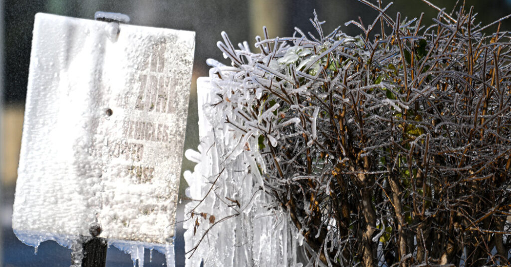
A winter storm delivered a chilly blast to the Southeast early on Sunday, with seldom-seen snow falling as far south as Florida and forecasters warning of icy roads.
A winter storm warning was in effect over the northwest of the Florida panhandle, where up to two inches of snow was expected to accumulate on Sunday. Central and southwestern Georgia, including the cities of Macon and Dublin, and the southeast of Alabama were also under winter storm warnings through 1 p.m., Sunday, with up to three inches of snow expected in those areas.
Forecasters said early Sunday that light snow was beginning to fall in Mobile, Alabama, as well as Baldwin County. In Georgia, snow started in the Columbus area, and forecasters at the Atlanta office of the National Weather Service said rain moving between Columbus and Macon was expected to rapidly turn to snow through the morning.
The system will also bring the chance for snow across the Northeast from Sunday morning through late Sunday night. New York City could pick up two to four inches of snow and Boston three to six.
The storm that formed in the Gulf was pulling a stream of moisture northward as anomalously cold arctic air spilled into the United States from Canada and moved south.
This coastal system was moving over the Atlantic Ocean, parallel to the East Coast, and is expected to reach northern New England by Sunday night. On Monday, it will move into the Canadian Maritimes, Atlantic Canada, and Nova Scotia.
Frank Pereira, a meteorologist with the Weather Prediction Center, said the system has been difficult to forecast, with weather models disagreeing on just how much snow will fall.
Mr. Pereira said on Saturday evening that some of the initial forecasts predicted little snow in the Northeast, but that the latest runs on the models showed a stronger event, particularly in southern New England.
“The potential for impactful snow is going up,” he said.
Earlier in the week, the jet stream, the river of fast-flowing air high in the atmosphere, shifted and started carrying cold air southward, bringing below-normal temperatures up and down the East Coast.
While the temperatures were not expected to be record-breaking, they are low enough to allow for snow in areas that don’t often see it.
Joe Wegman, a meteorologist with the Weather Prediction Center, said the Southeast “can easily go multiple winters in a row without seeing snow.”
Precipitation in Georgia started out as rain Saturday and changed to snow in some areas as temperatures dropped on Sunday.
Lindsay Marlow, a meteorologist with the National Weather Service office in Peachtree City, Ga., warned that roads in Macon, the largest city falling under a warning, will be slick, “especially smaller roads that will not have been treated with sand or salt.”
Ms. Marlow said that Atlanta was just outside the area expected to get snow. “The chances for snow in Atlanta are low, but not zero,” she said.
Light snow, a tenth of an inch or so, is expected across western South Carolina and North Carolina and much of western Virginia, with up to two inches in Northern Virginia, Washington and across Maryland.
The snow started falling across the Mid-Atlantic in the early morning and was spreading into southern New England.
Winter weather advisories were in effect from Philadelphia to Boston to Portland, Maine, with forecasters warning of slippery roads.
“We don’t expect the snow rates to be all that heavy in New York,” Mr. Wegman said. “It will be a long duration, but light snowfall event.”
Some of the highest snowfall totals are expected in eastern Massachusetts, eastern Connecticut and Rhode Island, where up to eight inches of snow is possible.
Nazaneen Ghaffar contributed reporting.
Amy Graff is a Times reporter covering weather, wildfires and earthquakes.
The post Snow, Seldom Seen in the South, Comes to Parts of Georgia appeared first on New York Times.