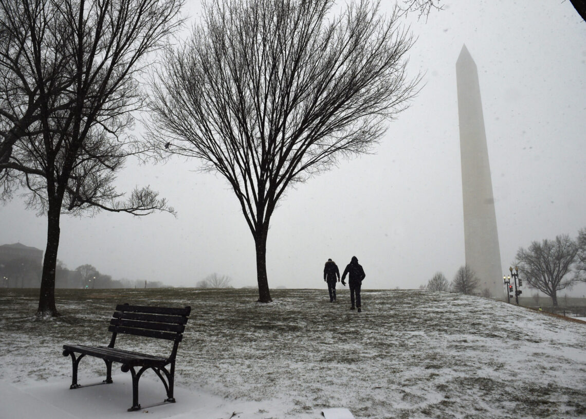
Winter’s already teasing the region, as the week began with a chill in the air. And the real thing isn’t far behind.
After a run of mostly mild, low-snow winters, last year broke the pattern with slightly cooler-than-normal temperatures and near-average snowfall. This year, we expect a repeat of the chill — but with a bit less snow overall.
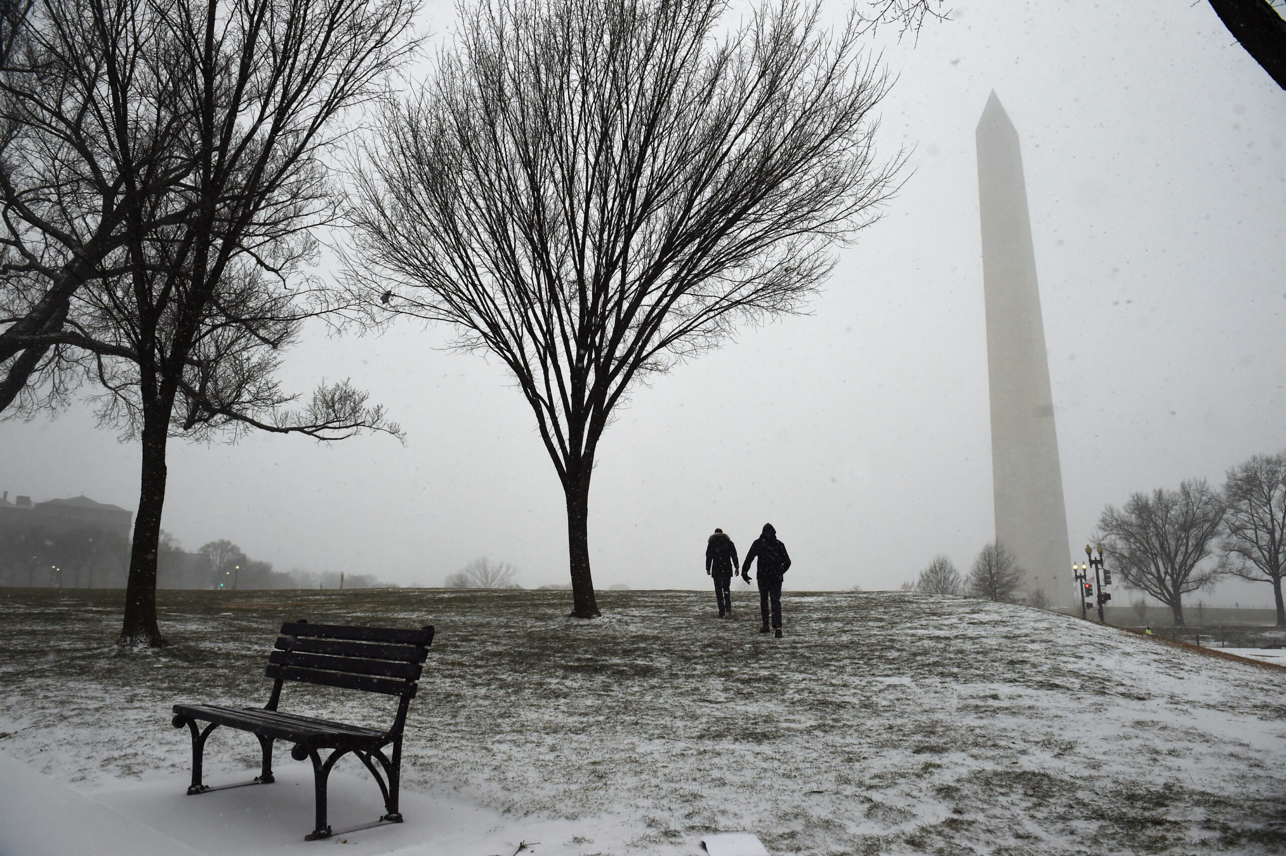
Our forecast calls for 8 to 14 inches of snow in the D.C. area, and up to a foot and a half in colder spots north and west of the city. That’s a touch below normal, but still more than what’s fallen in six of the past 10 winters.
This projected chillier pattern, especially early in the season, extends a streak of below-normal months dating back to August — and could mark the first back-to-back colder-than-average winters in a decade.
Our detailed winter outlook follows.
There are early hints that winter could start with a bang. Some computer models — always subject to change — suggest a dramatic breakdown of the polar vortex after Thanksgiving, which could usher in a cold December with a few snow chances.
If D.C. manages any measurable snow next month, it would be a big shift: the city hasn’t seen an inch of December snow in eight years. We’re leaning toward a chilly January as well, followed by a milder February.
With La Niña in play, expect some sharp temperature swings — a classic weather roller coaster. Storms often track west of the region during La Niña winters, drawing mild air north and favoring more rain than snow. Still, there will likely be a few setups where cold air arrives first, allowing a burst of snow or ice before any changeover.
We also anticipate several fast-moving clipper systems — moisture-starved disturbances diving in from the northwest — that could bring brief, light snow.
The odds of a blockbuster, double-digit snowstorm are below normal, though not zero — especially if La Niña weakens later in the season.
All told, we expect three to four snow events with measurable accumulation, plus a few more featuring that dreaded wintry mix.
Temperatures: Near normal to slightly colder than normal
Snowfall: Slightly below normal overall
Qualifiers
What are other forecasters predicting for the Washington region?
We polled five meteorologists who specialize in seasonal forecasting, and they are generally predicting below-normal snowfall for the winter:
In addition, broadcast meteorologists for local television affiliates who have released outlooks are calling for below-normal amounts:
What is your long-term track record with these winter outlooks?
We have been doing winter outlooks since 2005-2006 and have evaluated ourselves after the fact most years. We’ve generally been in the ballpark — although we’ve had notable triumphs and misses — giving ourselves an average grade of around a B- or C+.
Since initiating these outlooks, our best winter forecast preceded the record-breaking Snowmageddon winter of 2009-2010, when we said: “Overall, we find chances for a large snowstorm of 8-12 inches or more are much higher than normal.”
Our worst outlooks were for the winters of 2011-2012 and 2013-2014. In 2011-2012, we predicted near-normal temperatures, and it was 5 degrees warmer than average. In 2013-2014, we forecast a warm winter with slightly below-average snowfall, and it was cold, with snow that totaled more than twice the average.
Our outlook for last winter was solid and about the most accurate among outlooks produced by private companies and TV stations. Our predictions for near-normal snowfall and temperatures came close to reality.
Do you take climate change into account in your winter outlooks?
Since 1970, the average winter temperature has risen several degrees across the region. Meanwhile, the 30-year average snowfall has declined from over 20 inches in the late 1800s to just 13.7 inches today.
Here’s how much snow has fallen over each of the past 10 winters (full list back to 1887-1888):
We do consider these long-term trends in our winter outlooks.
Aren’t weather forecasts only reliable out to about eight to 10 days?
There is little accuracy in predicting specific conditions, such as the exact temperature and amount of rain or snow for a given day, more than eight to 10 days into the future. However, seasonal forecasting advances allow us to make educated guesses on the overall tendency of conditions, such as how temperatures and snowfall will compare with the average over the period of a month or several months. Because of the uncertainty involved, we give ranges and attempt to be as transparent as possible in conveying that these outlooks are indeed low confidence.
How could this forecast go wrong?
Just like polls in politics can be wrong, so can preseason weather forecasts. If La Niña strengthens or holds on longer than expected, that could lead toward a drier and milder winter. But, if La Niña fades quickly, the winter could take a snowier turn.
A big wild card is the prevailing phase of the North Atlantic Oscillation — which has little predictability more than two weeks in advance. If it’s frequently negative, that would substantially tilt the odds toward more snow and cold. This happened during the La Niña event in 1995-1996 when there was 46 inches of snow. But, if it’s overwhelmingly positive, a mild winter with little snow would be difficult to avoid.
Below are some of the key factors we considered in developing this winter’s outlook. No single influence tells the whole story, and correlations between past and future conditions are rarely strong. But each of these elements has shown at least modest predictive value, and when viewed together, they help frame our expectations for the months ahead.
Although every winter is unique, this one may share traits with several past seasons that featured similar patterns — including 1950-51 (10.2 inches of snow; colder than normal), 1956-57 (14.2 inches; near normal), and 2008-09 (7.5 inches; slightly milder). These analog years helped inform our temperature and snowfall projections.
Tropical Pacific Ocean
In October, NOAA declared the development of La Niña — defined by cooler-than-normal sea surface temperatures in the tropical Pacific — for the fifth time in six years. La Niñas, especially stronger ones, often align with warmer, drier winters in the Mid-Atlantic.
This year’s La Niña, however, is weak and expected to fade during the second half of winter. Historically, such weak events tilt the odds toward slightly cooler conditions and near-average snowfall in the D.C. area.
North Pacific Ocean
The Pacific Decadal Oscillation (PDO) is a measurement of the intensity and location of sea-surface temperature differences from normal in the North Pacific. When it is strongly positive, it often correlates with a cold and stormy pattern for the Mid-Atlantic. When it is sharply negative, it often, but not always, tends toward warm and dry.
The PDO is currently strongly negative, a continuation of the pattern that contributed to our dry fall. Its persistence through winter argues against a notably snowy season, though it doesn’t preclude periodic cold spells.
The Arctic Oscillation (AO) and North Atlantic Oscillation (NAO)
The Arctic Oscillation (AO) gauges surface air pressure at high latitudes, especially around Greenland. A positive AO typically keeps cold air locked in the Arctic under a strong polar vortex, while a negative AO reflects a weakened vortex, allowing frigid air to spill south into the midlatitudes.
Closely related, the North Atlantic Oscillation (NAO) tracks pressure differences over the North Atlantic. A negative NAO, often signaled by high pressure near Greenland, favors cold and sometimes snowy patterns along the U.S. East Coast — especially when paired with a negative AO. This combination was a hallmark of the region’s historic snow winters in 2009-10 and 1995-96.
While a negative AO/NAO pattern doesn’t guarantee major winter storms, it greatly improves the odds when other ingredients align. Current forecasts hint that the NAO may start December in its negative phase, possibly ushering in a chilly beginning to winter, but beyond that, the signals remain uncertain.
Summer and fall weather
Since August, temperatures have run slightly below normal, a modest but noteworthy trend we factored into our analog selection and expectations for early-season chill.
2024-2025 winter outlook | 2024-2025 winter outlook recap | 2023-2024 winter outlook | 2022-2023 winter outlook | 2022-2023 winter outlook recap | 2021-2022 winter outlook | 2021-2022 winter outlook recap | 2020-2021 winter outlook | 2020-2021 winter outlook recap | 2019-2020 winter outlook | 2019-2020 winter outlook recap | 2018-2019 winter outlook | 2018-2019 winter outlook recap |2017-2018 winter outlook | 2017-2018 winter outlook recap | 2016-2017 winter outlook | 2016-2017 winter outlook recap | 2015-2016 winter outlook | 2015-2016 winter outlook recap | 2014-2015 winter outlook | 2014-2015 winter outlook recap | 2013-2014 winter outlook | 2013-2014 winter outlook recap | 2012-2013 winter outlook | 2012-2013 winter outlook recap | 2011-2012 winter outlook | 2011-2012 winter outlook recap | 2010-2011 winter outlook recap | 2008-2009 outlook live chat | 2007-2008 winter outlook | 2006-2007 winter outlook | 2005-2006 winter outlook
The post Settle in for a chilly winter around D.C., but snowfall looks modest
appeared first on Washington Post.