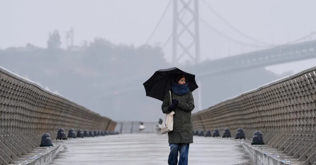
After months of hot, dry weather that left the landscape across California parched and the fire risk high, a storm is expected to bring cooler temperatures and a chance of rain on Wednesday and Thursday.
Here are the key things to know:
-
The heaviest rain is forecast for Southern California, raising concerns about flooding.
-
Lighter rain could make for messy commutes in the San Francisco Bay Area.
-
The rain won’t put an end to wildfire season, but it will dampen the landscape.
Forecasters said the heaviest rain will fall in Southern California, which late last week experienced several days of fierce winds and hot temperatures that helped fan multiple wildfires, including the Norte fire, which forced thousands of people to evacuate and damaged at least six homes in Orange County.
By early Wednesday, the storm is expected to be off the coast of Santa Barbara County, bringing a chance for steady rain that will spread from Central California to Southern California through Thursday.
The rain will help reduce the risk of wildfires, particularly in Southern California where higher totals are expected, but even there it will not put an end to the peak fire season.
“We need at least four of five inches of rain before we see an end to the season,” said Mike Wofford, a meteorologist with the Weather Service office in Oxnard.
Rainfall totals of half an inch to 1.5 inches are possible between San Luis Obispo and San Diego Counties. Heavy rain from thunderstorms could nudge totals up to two inches or higher in some places, and cause flooding, particularly in areas recently burned by wildfires.
It’s difficult, even for expert meteorologists, to pinpoint exactly where the thunderstorms will form, but the possibility is highest from Santa Barbara County to Los Angeles County. These storms could also bring lightning and small hail as well as waterspouts over the ocean.
The heavy rain from the thunderstorms will bring a slight threat of flooding to Southern California, where thunderstorms could unleash heavy downpours.
A patchwork of flood watches were issued, including in the mountains of Santa Barbara County and along the Malibu coast, and in the town of Pacific Palisades in Los Angeles County, all areas where wildfires have recently left the landscape vulnerable to fast-moving landslides known as debris flows.
“For 90 percent of Southern California it’s going to be a nice rain, but there is the potential for some areas to get more rain than they can handle,” Mr. Wofford said.
On Tuesday, the storm was traveling south along the coast of Northern California where rain totals will be lower than those in the southern half of the state. Places around the San Francisco Bay Area could record up to a quarter of an inch of rain through Thursday.
The rain is most likely to fall there on Wednesday morning, with a second round of showers possible on Thursday morning.
“It’ll make some of the commute times messy with slick roads, but otherwise not much of an impact,” said Joe Merchant, a meteorologist with the Weather Service office in Monterey.
Roads can be especially slippery after the first rain of the season because the water mixes with oil that has been accumulating on the ground for months.
The stormy weather is arriving just ahead of a winter expected to be influenced by a strong El Niño. The weather pattern has already led to an unusually active hurricane season in the Pacific Ocean, and these storms have pounded the West Coast with heavy waves and flooding. Most long-term weather forecasts have predicted that California will receive above normal rain and snow this winter.
The post A Storm Will Bring Rain to California This Week appeared first on New York Times.