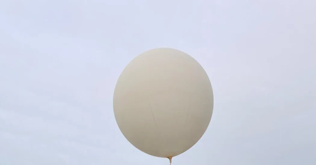
As a hurricane pushed over the Gulf of Mexico on Thursday afternoon, Mike Efferson, a meteorologist at a National Weather Service office in Slidell, La., walked out from a garage carrying what looked to be a ridiculously oversized party balloon.
Mr. Efferson fiddled for a moment and then, with a whoosh, he released the string and sent the hydrogen-filled balloon high over the north shore of Lake Pontchartrain. It disappeared into a carpet of clouds that streamed into the region from the approaching Hurricane Isaias.
“It will go up to about 100,000 feet and then it pops,” Mr. Efferson said.
The Weather Service releases balloons like this from dozens of locations across the country. They are usually done twice daily, but Mr. Efferson said the office was doing four a day this week because of the storm that’s expected to make landfall near the Alabama-Florida border as a hurricane late Friday or early Saturday.
Some launches are automated, particularly at remote sites in Alaska, but most are done by human hands like those of Mr. Efferson.
He said he has launched too many balloons to count, but he can remember one that he sent into the air that went on to pass right into the eye of Hurricane Zeta in 2020.
“It was the coolest launch I ever did,” he said.
The balloons carry measuring instruments called radiosondes that collect all sorts of information, including temperature, wind and pressure readings as they shoot up through the layers of the atmosphere. The data gets plugged into computerized weather models that help generate forecasts. Data from these balloons is a big part of how meteorologists can see rain and storms coming well in advance.
“It’s such critical data,” said Mike Buchanan, the meteorologist-in-charge at the Weather Service office in Slidell. “For this situation, it’s helping come up with forecast tracks for the hurricane.”
The radiosondes also measure the amount of moisture in the atmosphere. Mr. Efferson said the data recorded on Thursday would help meteorologists produce the weekend forecast as Isaias comes ashore.
“Knowing how much moisture is in the atmosphere, that gives us a very good indication for what the potential is for heavy rainfall,” Mr. Efferson said. The good news on Thursday for New Orleans was that the latest storm tracks were taking Isaias farther and farther away from Louisiana. “The storm is likely to be pretty far east of us,” Mr. Efferson said.
The post Sent High Into the Sky, Weather Balloons Help Paint a Picture of Isaias appeared first on New York Times.