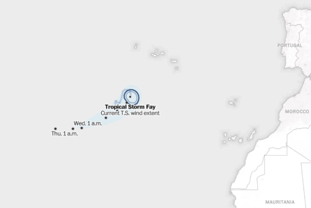
Tropical Storm Fay formed in the mid-Atlantic Sunday morning and is moving slowly southward. It’s expected to peter out over the next few days over the open Atlantic.
How a hurricane forms and strengthens
Only when tropical cyclones in the Atlantic Ocean encounter the right ingredients for long enough do they strengthen to the point of designation.
Meteorologists at the National Hurricane Center pay close attention to a cyclone’s wind speed, which determines its class. Once it reaches 39 mph for at least one minute, it’s classified as a tropical storm and given a name; at 74 mph, the storm becomes a Category 1 hurricane, and continues through Category 5.
These classifications help officials predict the possible risks and damage and send warnings of what to expect from the strong winds, waves, rains and floods when they hit land.
It’s dangerous to be caught in tropical storm-force winds. Stronger hurricane-force winds can destroy homes and buildings and send debris flying.
The winds can also push seawater inland for miles, causing an abnormal rise in seawater levels, known as storm surge — the leading cause of death during a hurricane in the United States, according to the National Weather Service. Large waves are also a risk to people and property.
As a storm moves further inland, flooding becomes a major risk. Cyclones often produce more than six inches of heavy rain, which can overwhelm drainage systems and the ability of the ground to absorb the water, causing flash floods. Flooding may persist for days after a storm.
Hurricane season historically peaks around mid-September. The National Oceanic and Atmospheric Administration predicts 8-14 tropical storms this year, including three to six that could become major hurricanes.
N. Kirkpatrick contributed to this report.
The post Tropical Storm Fay tracker: Map and projected storm path appeared first on Washington Post.