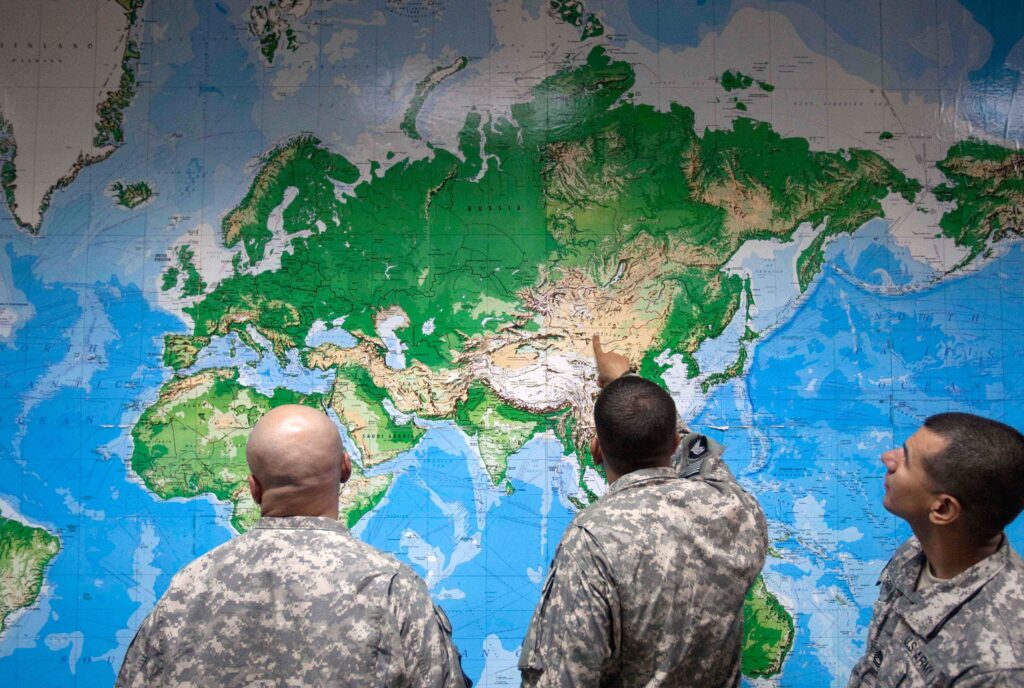
The United Nations voted Friday to endorse a world map that more accurately reflects the true size of continents, following an African-led campaign.
The U.N. General Assembly voted 164 votes to 1 to adopt a resolution to encourage members to use the “Equal Earth” projection rather than the commonly used Mercator map, which dates back to the 16th century.
The U.S. cast the sole vote against the initiative, while six countries abstained: Estonia, Georgia, Lithuania, Moldova, Serbia and Ukraine.
The vote followed a “Correct the Map” campaign backed by the African Union and led by Togo. The campaign argued that the Mercator map, developed by Flemish mapmaker Gerardus Mercator in 1569, misrepresents the size of continents, particularly Africa, and carries unfair connotations of power and privilege.
“For over 450 years, we have based our understanding of Africa, and the world, on a map that is wrong!” the campaign said. “In fact, you could fit the United States, China, India, Japan, Mexico and much of Europe into Africa and still have land to spare.”
The U.N. vote does not ban the Mercator projection or designate a replacement, but encourages governments, schools, international organizations and technology companies to use the Equal Earth map or other projections that more accurately reflect the true relative sizes of countries.
At the time it was developed, Mercator’s projection combined navigation and cartography to create a new type of world map crisscrossed with lines that corresponded to compass bearings.
It was ideal for navigating by sail, but this came at the expense of showing the actual size of landmasses. The farther from the equator countries are, the larger they appear. Greenland, for example, appears the same size as Africa even though in reality Africa is 14 times larger.
The simplicity and usefulness of the map have seen it endure, but critics argue it distorts and misleads the way people see the world. Others have argued that all projections of the Earth on a flat surface are problematic, including the Equal Earth version that shows the true size of landmasses but distorts their shape.
Yaryna Ferencevych, the U.S. deputy representative to the U.N. Economic and Social Council, described the initiative as part of a broader “radical ideological project” being pursued by the U.N. when it should be focused on “genuine problems of international peace, prosperity, or good relations.”
“Resolutions like this and the ideological agenda they promote, are barnacles on our work here, and the reason this institution is losing its credibility,” she said.
Togo’s Foreign Minister Robert Dussey celebrated the result as a “historic moment” with bigger significance than cartography.
“It is about justice, dignity, equality and the way we represent our world,” he wrote on X. “For too long, inherited cartographic representations have distorted our perception of the true size and place of Africa and other regions of the world. Correcting the map means correcting the way we see the world.”
The post The U.N. backed a map that shows Africa true to size. The U.S. was sole objector. appeared first on Washington Post.