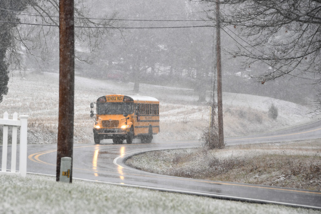
The D.C. area looks to be on the northern edge of a storm system sliding by to the south late Thursday night into Friday morning. While precipitation is expected to be light, temperatures falling into the upper and mid-20s will be cold enough for whatever falls to be snow, and to stick to roads and sidewalks.
The Capital Weather Gang is predicting anywhere from just flurries toward northern Maryland to as much as 1 to 2 inches of snow in Southern Maryland and Stafford County. A dusting to 1 inch is the most likely amount in the Beltway region.
As for timing, the light snow should spread into the region from southwest to northeast around 2 to 6 a.m., perhaps remaining just flurries toward northern Maryland, before exiting west to east around 10 a.m. to 1 p.m.
SchoolCast
Confidence in accumulating snow, and therefore school impacts, is highest south of the Beltway. It’s possible there is enough snow for school delays in D.C. and to the north but far from certain because the accumulating snow will probably transition to barely a dusting or just flurries somewhere between the northern Beltway and the Maryland-Pennsylvania border.
FedCast
As of now, it doesn’t look like enough snow in the Beltway area for the Office of Personnel Management to alter operations. But that could change if the system shifts slightly north and produces a longer period of steadier, heavier snow than expected.
The post Light snow could disrupt schools Friday morning, especially south of D.C. appeared first on Washington Post.