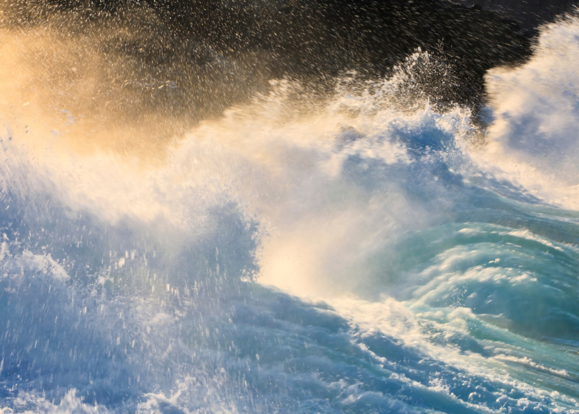
The mental picture of a tsunami is usually a giant wall of water building across the ocean and crashing onto shore, wiping everything out along the way. A satellite just caught one from space with enough detail to prove the story isn’t that simple.
The insight came from SWOT, a NASA–CNES satellite launched in 2022 to track subtle changes in global water height. It wasn’t built for natural disasters. It was built for the slow, steady movements of rivers, lakes, and ocean currents. Then, on July 29, 2025, a magnitude 8.8 earthquake hit the Kuril-Kamchatka subduction zone off Russia’s far eastern coast. As the tsunami raced across the Pacific, SWOT happened to pass overhead with its sensors pointed directly at the open water. Right place, right time.
Researchers later combined the satellite’s measurements with readings from three DART buoys in the region. The result, published in The Seismic Record, revealed a far more layered pattern than the single-wave image most people, scientists included, had worked with. The tsunami didn’t maintain one towering pulse. It broke into a large leading wave followed by smaller, stretched-out waves that fanned behind it.
NASA Just Captured the First High-Resolution View of a Tsunami From Space
That detail is extremely important. Scientists believed for decades that big tsunamis moved as a single energy wave that didn’t spread out much. The idea changed based on the SWOT analysis. These readings showed slight changes in wave height and spacing across a 120-kilometer-wide area of the ocean. Older satellites could only observe narrow strips of water. While DART buoys are crucial, they measure specific spots in the sea. SWOT gave researchers a full overhead slice of the event, something they normally never get.
Angel Ruiz-Angulo, the study’s lead author and an oceanographer at the University of Iceland, said the new data felt like switching to “a new pair of glasses.” Suddenly, the wave’s internal structure came into view instead of being inferred from scattered measurements.
The timing was lucky, but the effects go far beyond simple chance. SWOT and other related satellites might help tsunami warning systems by detecting waves earlier in their movement. Present warning systems depend on seismic data and buoys, but these can overlook small details about how a tsunami acts after moving away from the earthquake zone.
No satellite can stop a wave with that much power, but spotting one in such detail changes how researchers study these phenomena. They gain a better idea of what a massive ocean threat looks like as it happens. This clearer understanding is something coastal areas rely on to save lives when every second is life or death.
The post NASA Just Recorded the First High-Res Imagery of a Tsunami From Space appeared first on VICE.