Temperature records from the 1800s are forecast to be broken on Thursday and Friday as an air mass from Nunavut, Canada, reaches the Midwest and Northeast.
Then, more record-breaking cold is possible late in the weekend and next week when more freezing air, currently located near the North Pole, reaches the central and eastern United States.
Around 80 million people in parts of 35 states are forecast to experience single-digit or below-zero temperatures through Monday, with low temperature records possible in 14 states.
The frigid pattern follows a sudden stratospheric warming event that disturbed the polar vortex miles above the North Pole — an unusual phenomenon for late fall. This disruption is now affecting weather patterns, with above-average temperatures developing in northern Canada and Greenland as freezing air gets displaced farther south.
There are some signs that the cold weather will ease in the Midwest and East during the second half of December as icy air reloads over Alaska.
Where records may be broken
Daily low-minimum and/or low-maximum temperature records are forecast to be neared or broken in around 40 locations from Nebraska to Maine in the coming days.
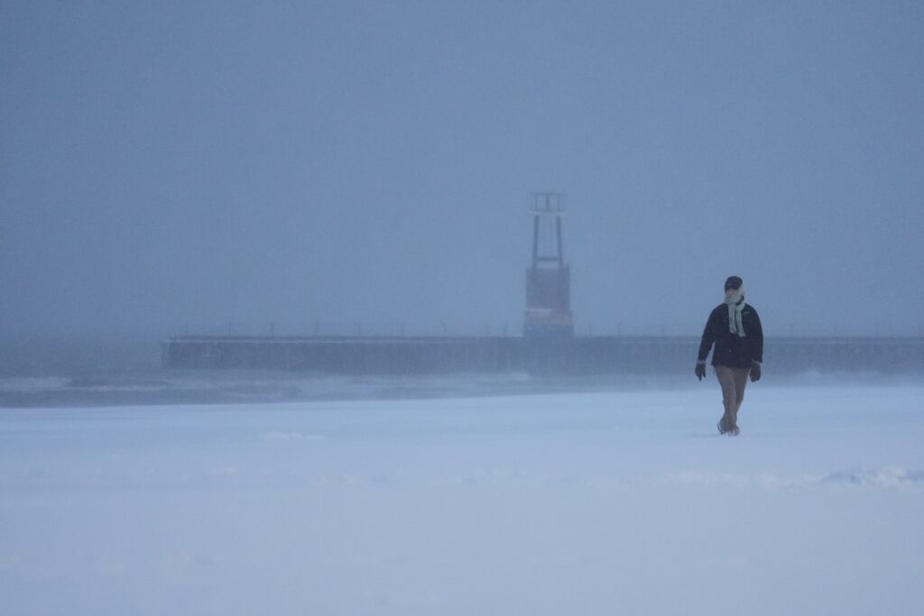
A fresh snowpack, which acts as a natural refrigerator by reflecting sunlight and allowing any warmth to quickly fade at night, will amplify the cold across this stretch of states.
On Thursday, a predicted high temperature of just 14 degrees in Des Moines will approach the record from the same day in 1886. Forecast highs of 23 and 21 degrees in Detroit and Grand Rapids, Michigan, respectively, could tie or break records from 1895. A forecast low of 5 degrees on Thursday morning in Kansas City, Missouri, could break a record from 1898.
Some of the country’s coldest conditions are forecast to occur north of Minneapolis on Thursday morning, when temperatures approach minus-20.
On Friday morning, Manchester, New Hampshire (4 degrees); Springfield, Illinois (1 degree); and South Bend, Indiana (5 degrees) could near, tie or break low-temperature records from the late 1800s.
Although these temperature records are significant, monthly high-temperature records have outpaced cold ones at a pace of about 5 to 1 in the United States so far this year. That’s to be expected on a warming planet — and one that is experiencing one of the three warmest years on record.
The U.S. is an anomaly
There’s a medium chance for well-below-average temperatures across 13 percent of the planet over the next 10 days. An area from Alaska, across Canada and into the contiguous United States will be the most expansive cold zone on the globe.
That compares with 21 percent of the planet, where there’s a medium chance for well-above-average temperatures, including swaths of northern Canada, Greenland, Europe, Africa, South Asia, northeastern Russia, Australia and New Zealand.
Despite cold weather in parts of the United States, many more people globally will experience unusual warmth in the coming weeks.
Although conditions in the United States will be much colder than average, the country will not be hit by the most extreme cold on the planet, as a viral social media post claimed earlier this week. Through Monday, the coldest place on the planet will be interior Greenland, where it may dip as low as minus-60, according to weather model predictions.
Meanwhile, another winter storm may bring snow and ice to parts of the Carolinas, Appalachians and Mid-Atlantic, potentially including D.C., on Friday — when high temperatures may struggle to reach 32 degrees.
The post Where low temperature records from the 1800s may be broken this week appeared first on Washington Post.