February storms brought fresh snow to the Sierra Nevada, but California’s snowpack remains far smaller than average during a winter that has brought record warmth across much of the West.
California water officials said Friday that the Sierra snowpack is at 66% of average for this time of year.
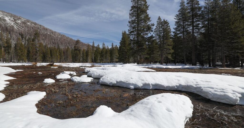
“We’re ahead of where we were last month, but still way behind where we would hope to be,” said Andy Reising, manager of snow surveys for the California Department of Water Resources.
Reising wore skis as he and other officials measured snow in a slushy meadow at Phillips Station near South Lake Tahoe, where rains in the last week began to melt the snow.
“I fell into a stream this morning because of the water that’s flowing under the snowpack,” he said.
California relies on the Sierra snowpack for about 30% of its water.
But extreme warmth across the West this winter has meant more precipitation falling as rain, not snow — a symptom of global warming, which in recent years has been pushing average snowlines higher in the mountains and changing the timing of runoff.
There are 130 monitoring stations across the Sierra Nevada mountains that provide electronic readings. The northern Sierra is currently at 46% of average and the southern Sierra 90% of average.
California’s snow season typically peaks around April 1.
Although much of it hasn’t fallen as snow, California has seen above-average precipitation this winter. According to the U.S. Drought Monitor website, no part of California is currently experiencing drought conditions.
But across 11 western states, 45% of the region is in at least a moderate drought, and large portions of the Colorado River watershed are in severe drought.
The snowpack in the Upper Colorado River Basin stands at 66% of average. That will mean less snowmelt feeding the river’s reservoirs, which are declining to critically low levels.
The western state with the most severe snow drought is Oregon. Its snowpack measures just 34% of average for this time of year, the second-worst since 1981.
Temperatures from November through January were the warmest on record. “That’s really the big story about why our snowpack is so meager,” said Larry O’Neill, the Oregon state climatologist and an associate professor at Oregon State University.
“Projections show that our winters are going to look a lot more like this in the future,” O’Neill said. “So this is really a test of our resiliency, of our water supply.”
The post Little snow in California and the West as a warm winter nears end appeared first on Los Angeles Times.