The first major outlook for the 2026 Atlantic hurricane season was released Thursday morning as researchers at Colorado State University forecast a near- or below-average season, with fewer hurricanes than typical and a lesser chance of impacts for this region of the United States.
In his first long-range forecast for the year, renowned hurricane specialist Phil Klotzbach predicted 13 named storms, six hurricanes and two major hurricanes, slightly less than the long-term seasonal average of 14.4 named storms, 7.2 hurricanes and 3.2 major hurricanes.
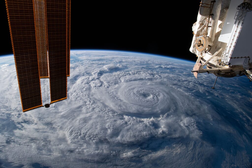
Hurricane season officially starts June 1, but most activity historically happens from mid-August to mid-October.
The group’s forecast indicates a 43 percent chance of a hurricane passing within 50 miles of or affecting Florida and only a 21 percent chance of a major hurricane doing so. Elsewhere, Massachusetts has only a 1-in-10 chance of a close hurricane pass; Texas has a 27 percent chance of a hurricane passing within 50 miles, and an 11 percent chance of a major hurricane making a close pass or direct hit.
While the news may be encouraging for beleaguered Gulf of Mexico residents who have dealt with a series of devastating blows in recent years, forecasters often warn that it takes just one bad storm for a season to be devastating. And with the season still months away, forecasts can change. Preseason hurricane outlooks can holistically evaluate the overall ocean-atmosphere system, but individual storms are impossible to predict at this time frame.
The 1992 hurricane season was well below average, for instance, with only one hurricane landfall anywhere in the Atlantic. But that was the season’s first storm, Andrew — a Category 5 monster that lay siege to southern Miami-Dade County.
That’s why experts caution vigilance even amid even a below-average forecast.
What’s driving a below-average season?
So why the tamer predictions compared with previous years? The driving factor is a burgeoning El Niño, which may even become a super El Niño.
El Niño begins as a warming of waters in the eastern/central tropical Pacific. It’s the opposite of La Niña, which is the cool phase of the same pattern. Both make up opposite extremes of ENSO, or the El Niño Southern Oscillation. Like a pendulum, the system tends to oscillate every 2 to 7 years.
El Niño patterns are linked to quieter-than-average Atlantic hurricane seasons. Warmer waters in the Pacific heat the air above, causing the air to rise. What goes up must come down, so we get subsidence, or sinking air, over the Atlantic, which inhibits storm formation.
Moreover, El Niños strengthen westerly winds in the upper atmosphere. That contrasts against easterly surface trade winds, meaning El Niños induce greater shear — or changing winds with height. Fledgling storms are more likely to be torn apart by shear, meaning fewer mature tropical storms and hurricanes will form.
That’s especially true during the back half of the season, since shear tends to ramp up in the autumn months.
“Typically, El Niño will get stronger as we go longer … [they] tend to strengthen as you go deeper in the season,” Klotzbach said. “If you ramp up the shear late-season, that tends to end the season.”
Because of that, this season could also come to an end somewhat early, with a lesser chance of late-season storms deeper into November.
Already, a westerly wind burst has been seen over the Pacific — signaling a forthcoming El Niño pattern.
Klotzbach said there’s “about a 2-to-1 difference” in odds of a major hurricane hitting the United States during a La Niña versus an El Niño. In other words, we’re only half as likely to get a major storm as we would be with a La Niña.
Given the anticipated stronger shear, the Atlantic’s Main Development Region (MDR) — the tropical belt between the Lesser Antilles and Africa — at times will be hostile to tropical development.
If a storm does form during a strong El Niño year, there’s a better chance that it’s one that forms in the western Caribbean or Gulf. But any landfall that results tends to be weaker than during La Niña years.
“If stuff is forming in the northern Gulf, it only has so long before it’s coming onshore,” Klotzbach said. “That means the storms have less time to fester and strengthen.”
The National Oceanic and Atmospheric Administration separately announced Thursday morning that La Niña, which dominated over the winter, has come to an end. It’s anticipating El Niño to build soon.
The post First major Atlantic hurricane season outlook calls for below-average activity appeared first on Washington Post.