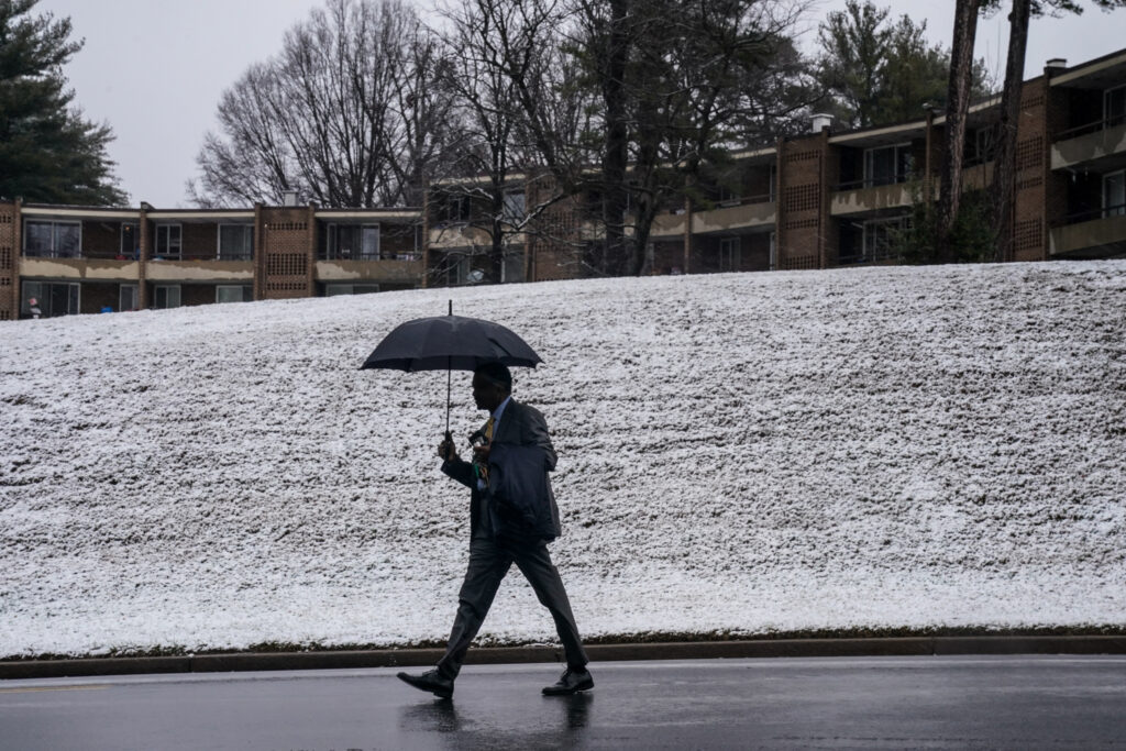
Parts of the D.C. area could experience icy roads Tuesday morning, leading to the possibility of school delays. The National Weather Service has issued a winter weather advisory for areas west of Interstate 95 Monday night into Tuesday morning, where the delays are most probable.
Snow is predicted to change to freezing rain overnight, and a light glaze of ice could form on untreated surfaces, especially in colder areas north and west of the Beltway. The ice is expected to change to plain rain by midmorning.
Near and east of I-95, temperatures are expected to rise above freezing by early Tuesday morning if not sooner, so any frozen precipitation is predicted to turn to plain rain. Here, roads and sidewalks should be mostly just wet and few disruptions are anticipated.
School officials weigh a number of factors, including road conditions, to decide whether to adjust their class schedules.
Below, find the Capital Weather Gang’s predictions for the operating status of schools and the federal government.
SchoolCast
The counties with the best chance of a delay are farthest to the north and west, where temperatures will be lowest and slick spots are most likely. But, even in those areas, the chance of a delay is only 50-50 or so. Because temperatures are expected to rise above freezing pretty quickly after daybreak, the chance of closings is low.
Near and especially east of I-95, expect that schools will probably open on time.
FedCast
We don’t believe frozen precipitation will be disruptive enough for the Office of Personnel Management to delay or close the federal government. There’s a small chance it does give workers an unscheduled leave or telework option.
The post Wintry mix may cause some D.C.-area school delays Tuesday morning appeared first on Washington Post.