Yet another storm swept into the Lake Tahoe Basin in California before sunrise on Thursday as teams continued to work to recover eight dead skiers and one who remained missing after the deadliest avalanche in modern California history this week.
The skiers were part of a group of 15 people on a three-day expedition near Castle Peak, about 12 miles northwest of Truckee.
Forecasters said the stormy weather pattern was expected to continue through the end of the month.
“As they like to say out here, is the storm door is open, and that looks to linger into the latter part of February,” said Heather Richards, a meteorologist with the National Weather Service office in Reno, Nev.
Thursday’s storm was not forecast to be as strong and long-lasting as the system earlier in the week that brought over five feet of snow across three days. This quick-hitter will be on its way out by the evening.
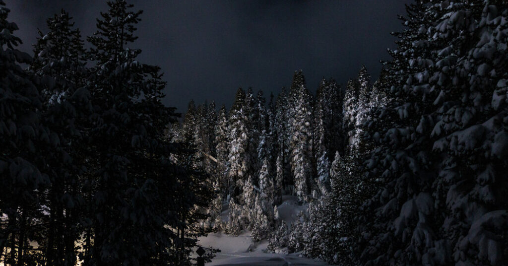
Colin McKellar, a meteorologist with the Weather Service, called it a “typical garden variety snowstorm,” with 12 to 18 inches of snow forecast at elevations above 7,000 feet through Thursday night. The Frog Lake huts, near Truckee, Calif., where the group of backcountry skiers was staying, sit at 7,600-foot elevation. Mr. McKellar noted that snowfall rates could reach one inch an hour.
The Weather Service warned that the storm was likely to worsen the road impacts that began with the earlier system. The agency advised against driving on mountain roads.
A warning for high avalanche danger for backcountry areas of the greater Tahoe Basin was in effect through 5 a.m. Friday. Experts recommended that people avoid travel in or near avalanche terrain, which means any areas with slopes where snow can become unstable and slide.
Forecasters expected a break across the area on Friday and into Sunday, when temperatures will begin to rise a little.
“We’ll start to see some temperatures in the upper 30s to 40s in some areas,” Ms. Richards said. “We could start to get some snowmelt.”
But this warm-up will set the stage for another storm.
On Thursday, details remained uncertain around the exact timing and snowfall totals, but the storm could arrive in the area as early as Monday and bring precipitation into early next week. It is likely to initially bring more rain than snow to elevations below 6,000 feet, Ms. Richards said.
Thursday’s storm was expected to bring snow to Truckee (elevation 5,900 feet), but in the next storm on Monday, the town is forecast to experience a mix of rain and snow with a high of 42 degrees. Ms. Richards said this could cause further snowmelt at lower elevations.
The weather forecast remained uncertain beyond the storm next week.
“It’s generally looking like the trend will be for drier conditions across California, but it’s just a matter of when that occurs,” said Marc Chenard, a meteorologist with the Weather Prediction Center. “By early March, it could be dry across the state.”
Amy Graff is a Times reporter covering weather, wildfires and earthquakes.
The post Recovery Efforts After Tahoe Avalanche Face More Heavy Snow appeared first on New York Times.