The Pacific Ocean weather pattern known as El Niño will return this summer, bringing the potential for extreme rainfall, powerful storms and drought across some areas of the globe, although scientists aren’t sure yet how strong it will be.
El Niño is a pulse of warm water in the central and eastern Pacific along the Equator. It occurs as trade winds shift. Usually, those winds keep that warmer warm ocean water pushed to the western Pacific. But the changing wind patterns instead allow the blob of warm water to slosh east toward the coast of South America.
El Niño patterns emerge about every three to seven years and typically last between nine and 12 months.
The last El Niño, in 2022 and 2023, was a major driver of record-breaking global temperatures as the atmosphere absorbed heat from the ocean.
“For the late summer and beyond, there is a 50 to 60 percent chance of El Niño forming, though model uncertainty remains considerable and forecasts made this time of year tend to have lower accuracy,” a statement on Thursday from the National Oceanic and Atmospheric Administration’s Climate Prediction Center said.
During winter months, El Niño can shift the jet stream over the North Pacific Ocean and North America toward the Equator. That potentially makes for a wetter winter in the Southern United States, and a drier winter in the Northern states, according to Michelle L’Heureux, the El Niño-Southern Oscillation team lead at NOAA’s Climate Prediction Center. But the next winter in North America is still “a long way off,” Ms. L’Heureux said, “so expect these details to be refined in the months ahead.”
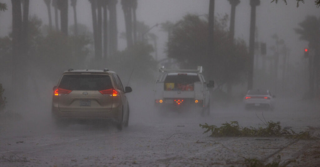
The shift of warm water caused by El Niño can cause strong winter storms, landslides and flooding along the Pacific Coast and Southwest United States, delay the vital monsoon rainy season in India, and spark drought and wildfires across Australia and Southeast Asia, according to Shang-Ping Xie, a climate scientist at the Scripps Institution of Oceanography at the University of California, San Diego.
At the same time, El Niño causes upper-level wind patterns that can block hurricanes from developing in the Atlantic Ocean and Caribbean during the summer and fall.
Dr. Xie noted that instruments were already detecting a warming trend in the equatorial Pacific since January. “The warm surface layer is getting thicker,” he said.
In 2025, the heat content of the entire upper ocean reached a record high for the fifth consecutive year, according to NOAA. Ocean heat content is an important indicator of climate change since the oceans store 90 percent of the planet’s excess heat.
According to NOAA, the chances of El Niño developing in the Pacific go from 40 percent by June to 60 percent by September.
The Pacific Ocean is currently at the tail end of a La Niña pattern, which is an area of cooler water the across the eastern Pacific. As La Niña fades, the Pacific transitions to a neutral phase, and then to a slowly growing El Niño pattern by late summer, NOAA said.
The post El Niño May Be Back This Summer, Bringing Drought and Floods appeared first on New York Times.