Many groups of all sorts may seem identical at first, but close inspection shows that one member stands out. In the last four freezing days in Washington, Tuesday was the day that stood out.
Four successive days in the District without an official minute above freezing have now gone by. A monotony of frigidity might easily overwhelm onlookers. With a wearying absence of distinction, one day might seem exactly like the others.
But not Tuesday. On Tuesday, the official high temperature in Washington, as recorded by the National Weather Service, fell only a single digit short of the freezing mark.
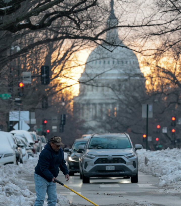
The day’s high was 31 degrees, according to the weather service report for Jan. 27. It was recorded at 7:12 p.m. at Reagan National Airport, the official weather service measuring station for the capital.
In many a week, or in many a month in Washington four full days in succession of below-freezing temperatures can be regarded as meteorologically memorable.
But until the mercury rose in the afternoon on Tuesday, it appeared that Washington was about to record four consecutive days in which the mercury would not only fail to reach the freezing point, but could not even climb out of the 20s.
The high temperatures on Saturday, Sunday and Monday respectively had been 22, 29 and 28. It appeared for a while that Tuesday might follow in their frigid footsteps.
But then on Tuesday a reading showed up of 30 degrees. That was about 3:45 p.m. The ceiling of temperatures no higher than 29 had finally been breached.
From 30, the route to 31 lay clear. It required a climb of only a single degree.
From the records, it appears that the high of 31 may have been attained for only a brief minute or two. But it seemed an obvious sign that if 31 could be reached, so then could 32.
Of course, excitement was tempered by recognition that even Tuesday’s 31 was 14 below the normal high for the date.
But still, 31 was close to 32, and after that, in proper circumstances, under propitious conditions, and with February approaching, it seemed possible that Washington might even witness freedom from freezing.
In the meantime, the sun shone on occasion on Tuesday, and its rays appeared to be having an effect, however modest and limited, on the snow that was strewn and spread everywhere.
In sunny areas, melting might have been hard to see, but there was a sense that the depth of snow on the ground was diminishing, by millimeters or perhaps even by slow centimeters.
Opening an upper window, peering out into the sunshine and feeling the warmth of its direct beams and of those reflected from the snow, seemed to suggest that actual winter comfort might not be far off.
But perhaps the combination of sunlight, cloud and snow produced a particularly scenic moment as the sun was setting. The western sky and its clouds turned pink.
And the pink light of the day’s end was reflected by the broad sheet of snow and ice that covered the Potomac River. From bank to bank, mirroring the sky, the river glowed a pale pink.
The post Warmest D.C. day of last four offers hope of freedom from freezing appeared first on Washington Post.