The polar vortex is a ribbon of high-altitude, fast-moving air that traps cold air as it circles the planet’s Arctic region in a counterclockwise direction. But occasionally, the polar vortex stretches into an oval shape, weakens and allows a blob of cold air to spill south into North America.
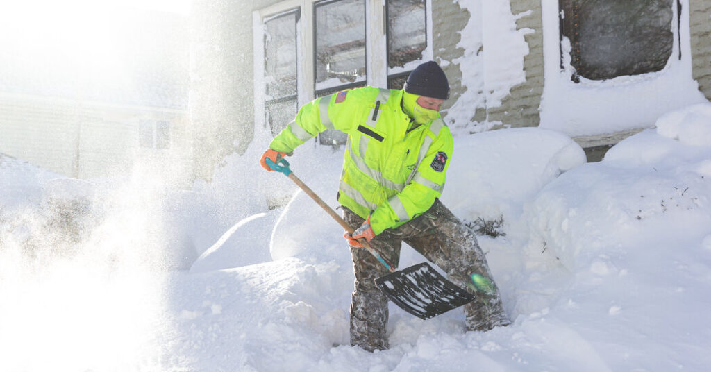
That’s what’s happening this week. A mass of cold Arctic air is colliding with a warm, moist high-pressure system moving west from California, producing a sprawling area of freezing rain, ice and snow across much of the Midwest, Southern and Eastern United States.
Judah Cohen, a research scientist at the Massachusetts Institute of Technology, coauthored a study in the journal Science last year that found that the stretching of the polar vortex was linked to increased severe winter weather in the United States in the past decade.
Dr. Cohen said that higher Arctic temperatures have caused melting sea ice in the Barents and Kara seas, just north of Norway and Russia. With less ice cover, the ocean is feeding more heat into the atmosphere, setting up a weather pattern that leads to a burst of extreme cold in North America.
“We’ve shown in multiple papers now that the occurrence of the weak polar vortex is increasing in frequency, and the times when the polar vortex is strong or circular is happening less frequently,” Dr. Cohen said.
This hypothesis that the Arctic, which has been warming several times faster than the rest of the planet for the past several decades, is weakening the polar vortex isn’t shared by all scientists. Jason Furtado, an associate professor of meteorology at the University of Oklahoma, said it’s too early to make a connection between the two.
“The Arctic is certainly going to continue to warm,” Dr. Furtado said. “But the data is more mixed about whether or not these types of stretches in the polar vortex will actually continue to increase in frequency as well.”
The post Is climate change weakening the polar vortex? appeared first on New York Times.