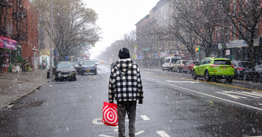
A fierce winter storm set to sweep much of the eastern half of the United States this weekend will blast New York City and the surrounding region with chilly air and heavy snow from late Saturday night into Monday, with forecasters warning of travel impacts.
Widespread accumulating snowfall is expected to cause significant delays at airports and on roads and “considerable disruption to transportation and daily life,” the National Weather Service said.
Snowfall totals in the area will likely range from six to 12 inches, but forecasters on Thursday were increasingly confident that over a foot of snow will pile up at some locations including across New York City. A winter storm watch was issued for parts of New York, New Jersey and Connecticut for Saturday night into Monday afternoon.
“There’s the potential for it to be the worst storm in a few years,” Bill Goodman, a meteorologist with the National Weather Service, said. “We’ve had a few years in the city where we didn’t get much snowfall.”
The last time New York’s weather station in Central Park saw more than a foot of snow from a single storm was in 2021.
Cold air will spill into the region ahead of the storm.
Ahead of the storm’s arrival, frigid air from Canada will settle in on Friday. Temperatures across New York City are expected to be relatively comfortable and in the mid-30s before plummeting to about 10 degrees overnight.
“Friday night into Saturday is the coldest time frame, with wind chills of 5 below likely,” Mr. Goodman said.
On Saturday, New York City is unlikely to reach even 20 degrees, with afternoon highs of 18 or 19 expected. Sunday is predicted to be a tad warmer, with highs in the mid-20s.
The snowfall could start as early as late Saturday night with a few inches likely on the ground by daybreak Sunday. The band of heaviest snow is expected to pass over the area Sunday into Sunday night. While Mr. Goodman advised that New York City residents avoid travel Saturday night through Monday, he said people should especially plan to stay home on Sunday night.
The snow is initially expected to be dry and powdery, the sort that blows around easily and is difficult to form into snowballs. At some point on Sunday, the snow could turn heavier and wetter.
There’s also a slight chance of the storm’s taking a more northerly path, with warmer air pushing into the region and the snow turning into a messy mix of sleet and freezing rain on Sunday night. This would bring down snowfall totals and “put an icy crust on top of the snow,” Mr. Goodman said.
The snow will taper off on Monday, during a morning commute that’s likely to be messy, as work crews rush to clear roadways.
More than 160 million people across the United States are likely to face winter weather hazards in coming days, as this storm moves from the Rocky Mountains, across the Midwest and South and up through the Northeast, according to Peter Mullinax, a meteorologist with the Weather Prediction Center. For the latest on that forecast, go here.
Amy Graff is a Times reporter covering weather, wildfires and earthquakes.
The post New York Could See Its Biggest Snowfall in Years appeared first on New York Times.