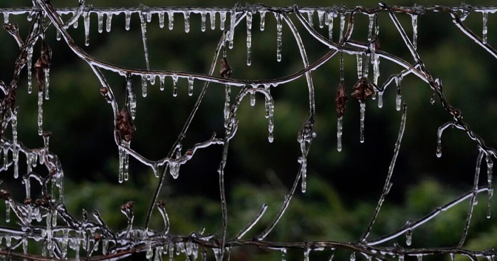
HOUSTON — A blast of winter weather was set to bring snowfall and subfreezing wind chills across the Midwest and East Coast on Saturday as well as near-freezing temperatures in parts of the South, including Florida, normally warm even this time of year.
In northeastern Ohio, a snow squall — a sudden burst of heavy snow and gusty winds — was creating whiteout conditions, according to the National Weather Service. The snow squall conditions were moving into the Cleveland metro area Saturday and expected to continue east into Pennsylvania and parts of eastern New York.
“Expect visibilities of less than a quarter of a mile and rapid snow accumulation on roadways. Travel will be difficult and possibly dangerous in the heavy snow,” according to the National Weather Service.
Below-average temperatures were being forecast for the Central and Eastern U.S. this weekend into early next week, according to the weather service.
“The next few nights are forecast to be very cold for much of the Central and Eastern United States,” the Weather Prediction Center, part of the National Weather Service, said Saturday. “Subzero wind chills are forecast from the Plains to the Midwest and Northeast, with the coldest wind chills expected in the Upper Midwest on Sunday night.”
Snowfall was expected by Sunday night to blanket Connecticut, Massachusetts and Rhode Island, with some areas getting up to 4 inches.
The cold weather wasn’t going to be limited to the northern parts of the U.S., as Oklahoma, Tennessee, Georgia and Florida were expected to have near-freezing temperatures through at least the weekend.
In Tallahassee, Fla., residents could see snowfall Sunday morning, the weather service said. But if there is snow, it won’t last long.
“So here in Tallahassee, the likelihood of any snow accumulation is not zero, but it’s very low. I mean, the ground will be just too warm for anything to stick and accumulate,” said Kristian Oliver, a meteorologist with the weather service’s office in Tallahassee.
If there is snowfall in the Tallahassee area Sunday, it would be the second time in as many years that Florida has experienced such winter weather.
About this time a year ago, up to 10 inches of snow fell in areas of the Florida Panhandle, part of a record-breaking snowstorm that affected the Deep South, according to the National Weather Service. Areas that don’t normally see snowfall, including Houston, New Orleans and parts of Florida, were hit by that winter storm.
“On average we have an event like this maybe every few years. But having two, back to back, I’d say is pretty anomalous for the area,” Oliver said.
Up to 3 inches of snow is expected Sunday morning in parts of central Georgia, south of Atlanta. The heavier snowfall is expected to take place between 6 a.m. and 11 a.m. on Sunday.
“Plan on slippery roads during the snow, as well as on Sunday night into Monday morning as the remaining water/snow refreezes,” said the National Weather Service’s Atlanta office.
Lozano writes for the Associated Press.
The post Blast of winter weather hitting Midwest, East Coast and could bring snow to Florida appeared first on Los Angeles Times.


