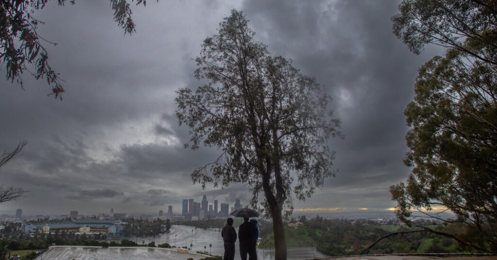
After soaking storms Christmas week, forecasters said Southern California should get more rain beginning on New Year’s Eve, bringing potential mudslides, downed trees and localized flooding.
The heaviest rainfall is expected on Wednesday night and through New Year’s Day, potentially disrupting holiday events, including the Rose Parade in Pasadena.
Rainfall totals are not expected to match those of last week’s storms, though Andrew Orrison, a meteorologist at the Weather Prediction Center, said full reservoirs and wet soils in Southern California meant even moderate rainfall could lead to flooding.
“Especially in that transverse range and also parts of the Los Angeles basin,” he said. “Some of the hillsides there, which are very sensitive to begin with, could potentially have some impacts as well, and also some of the burn scar areas.”
Timing of the rain
Rain is expected in two rounds: the first, bringing the heaviest rainfall, on Wednesday night and through New Year’s Day; and the second, less intense round, starting on Friday night and lasting through Saturday.
The exact timing of when the first round of rain would start remained uncertain, but forecasters at the National Weather Service office serving Los Angeles said light rain was expected across the whole area by Wednesday afternoon, as a storm system moved north from Mexico.
The rainfall is expected to intensify quickly on Wednesday night, with rainfall rates reaching about half an inch per hour and isolated areas seeing up to three-quarters of an inch per hour through New Year’s Day.
The heaviest rain is expected south of Point Conception and across foothills and mountain areas. Forecasters said there was “a near 100 percent chance” of a wet New Year’s Day Rose Parade, including the night before, when spectators camp along the route. The parade last experienced rain in 2006. Periods of showers are also expected during the Rose Bowl college football game, which begins at 1 p.m. local time.
The Weather Prediction Center issued a level 2 out of 4 risk for “scattered instances of flash flooding” across Southern California, including San Luis Obispo, Santa Barbara, Ventura and Los Angeles Counties from Wednesday through Friday. Rainfall totals of one to three inches are expected across coastal and valley areas, with three to five inches possible in the mountains and foothills. Forecasters said flood watches might be issued.
Isolated thunderstorms are also possible, along with wind gusts of up to 40 miles per hour.
Last week’s storms broke records
The new rounds of rain follow a brief period of dry weather after Christmas-week systems brought flash flooding, mudslides, heavy snow and strong winds across the state. The most intense rainfall in Southern California occurred on Christmas Eve. In Wrightwood, in San Bernardino County, mud and debris flows prompted evacuation warnings.
Rainfall records also were broken across much of the region. Los Angeles International Airport recorded 1.88 inches of rain on Christmas Eve, surpassing the previous daily record of 1.6 inches set in 1971. Downtown Los Angeles recorded its highest rainfall total for the Christmas Eve to Christmas Day period since 1971.
After Saturday’s rain, forecasters said there was “lots of uncertainty” about how long rainfall might continue. On Sunday and Monday, a moist southwest flow is expected to continue, bringing a mix of rain and dry periods.
Nazaneen Ghaffar is a Times reporter on the Weather team.
The post Rain Expected to Soak Another Holiday in Los Angeles appeared first on New York Times.


