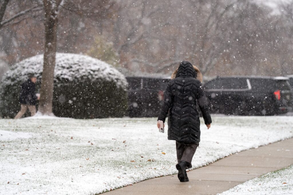
A pair of fast-moving weather systems, known as clippers, will sweep through the Mid-Atlantic from Friday to Sunday, offering the potential for two rounds of light snow.
The fast-moving systems will lack moisture but, if they hit the D.C. region head on, could deliver a dusting to an inch or two. If one or both end up grazing or eluding the area, little or no snow would result.
It’s possible that Friday’s system will pass through during the afternoon-to-evening rush hour, causing slick travel. Saturday night’s system, ending Sunday morning, would occur at a time with far fewer people on the roads if it materializes.
Friday’s snow chance
It’s possible that Friday’s system passes too far to the south for accumulating snow in the D.C. area. However, some models suggest it will come close enough to deliver a dusting to an inch.
The timing is also a bit uncertain. Any snow could begin as soon as Friday morning, but some models hold off the onset until evening. If most of the snow falls during the day, it may not stick much to roads, as its intensity will be light and air temperatures will be about or a little above freezing.
It’s improbable this system will affect school operations, but there’s a chance, if the snow holds off until later in the day, it could affect the later rush hour. If the snow falls after dark, the chance of some accumulation on roads will increase as temperatures fall.
Irrespective of the exact timing, any snow will come through fast, lasting no more than three to six hours.
Here’s how much snow different models predict for the Beltway area:
- UK Met: An inch
- NAM, RRFS and European: Dusting (0.2 to 0.4 inches)
- American: Dusting south of D.C.
- Canadian, European AI and German: None (passes too far south)
We’d venture there’s a 10 to 20 percent chance of an inch of snow from this system, and about a 40 percent chance of a dusting. Odds of at least a dusting increase some to the south and southwest of D.C.
Saturday night to Sunday morning snow chance
The potential snow on Saturday night will arrive on the leading edge of another blast of Arctic air. The cold air may not be fully established when any precipitation begins. It’s possible that some areas, especially south of D.C., even see rain or sleet before any snow.
The exact timing still needs to be worked out but models suggest it could begin about midnight and end about sunrise Sunday.
This system may have a bit more juice than Friday’s, but most models project that the heaviest precipitation will fall north of D.C. The American model, which is an outlier, shows the potential for more than 3 inches around D.C. But most others suggest areas around the Mason Dixon line and to the north have the best chance of more than an inch.
Here’s how much snow different models predict for the Beltway area:
- American: 3 to 4 inches
- European: 1 inch
- German: Coating to 1 inch
- European AI: Dusting
- UK Met and Canadian: None
While subject to change, we’d estimate there’s about a 30 percent chance of an inch from this event and about a 50-50 chance of at least a dusting.
Taking the two events together, it’s possible D.C. ends up in a snow hole — too far north for precipitation from the first system, and too far south for the second.
The forecast for both events is still coming into focus and we will refine it Thursday.
The post How it could snow twice in D.C. from Friday to Sunday appeared first on Washington Post.


