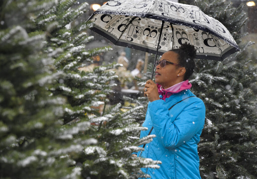
D.C. could see its coldest and snowiest December in nearly a decade as a wintry weather pattern has settled in and shows little sign it will relent.
The polar vortex underwent an unusual disruption to close November, dislodging cold air from the Arctic. And, with repeated incursions of cold expected in the coming weeks, it will increase chances for bouts of frozen precipitation — the first coming Tuesday morning in D.C.’s colder suburbs.
We’re projecting temperatures to average 2 to 4 degrees below normal, or the coldest December since at least 2017, and about two inches of snow. Overall, however, we anticipate slightly less precipitation than normal — meaning the drought that developed this fall should persist.
If we manage two inches of the snow, it would be the most in December since 2010. Remarkably, D.C. has not seen an inch of snow this month in eight years.
Our prediction for two inches of snow could be conservative; it would just take one modest storm to achieve that amount. However, there’s no obvious snowstorm in forecast models over the next two weeks, but there are several systems with potential to produce at least a little bit of the white stuff that we’re monitoring.
The predicted cold pattern may boost D.C.’s odds of a white Christmas (defined as at least one inch of snow on the ground Dec. 25). Historically, they’re just around 10 percent.
These projections represent adjustment to our projections made for December in our winter outlook because computer models are aligned that the month will be colder than we initially envisioned.
What models forecast for the month
Computer models are in strong agreement that the first half of the month will be substantially colder than normal. In fact, highs may not exceed the 40s for the duration while lows are persistently in the 20s and 30s.
Confidence in the temperature forecast is a bit lower for the month’s second half. The European and Canadian models continue to project cold, but the American model suggests temperatures will moderate.
Models tend to simulate near normal precipitation but we’d lean toward a little less than that given the recent dry pattern. The storm system passing through Tuesday could offer 0.25 to 0.5 inches of rain. Another system approaching Friday into Saturday could bring a bit more precipitation — and possibly some sleet or snow — but may end up passing too far south to deliver much.
Storm systems coming into the area next week may be approaching from the northwest, meaning they’d have limited amounts of moisture. But it’s possible they could bring a bit of snow.
What’s typical in December and what’s more unusual
December is typically a month that trends more wintry with time. Average highs in the low 50s begin cool to the mid-40s by New Year’s Eve. Typical lows cool from the upper 30s to near freezing.
The month is prone to the occasional warm spell with highs surging into the 70s. The month’s highest temperature was 79 degrees on Dec. 7, 1998. It can also turn quite frigid. On Dec. 31, 1880, the mercury plummeted to minus-13.
December’s average snowfall of 1.7 inches has only been eclipsed twice in the past 15 years. But big snows can and do occur, which skew the average. Memorably, the biggest December snowstorm on record occurred 16 years ago when D.C. received over 16 inches during the so-called “Snowpocalypse” on Dec. 18 and 19.
Recapping November
Last month’s temperature was close to average — although data was incomplete on two warmer-than-normal days and not included in the calculation. So it’s probable that once all data is analyzed, it will end up as very slightly milder than normal, ending a three-month streak of cooler-than-normal months.
Precipitation was below normal for the fifth straight month, causing drought to intensify and expand across the region. Just 0.92 inches of rain fell (along with a trace of snow), 1.99 inches less than normal.
Temperatures steadily shifted downward. November’s first nine days were in the 60s and 70s before dropping mostly into the 50s mid-month. Then the last four days were only in the 40s. The warmest day, Nov. 5, produced a high of 73; the coldest low of 30 occurred on Nov. 29. The season’s first freeze was recorded on Nov. 11 — 9 days earlier than normal.
Our outlook for the month, published on Nov. 3, was on the money. We wrote: “We’re expecting a relatively dry pattern to persist, with temperatures near or slightly above normal as the region transitions toward winter.”
Matt Rogers contributed to this report.
The post A December to remember in D.C.? Why this month could be cold and snowy appeared first on Washington Post.